ATLANTA — On the heels of record warmth and severe storms, parts of Georgia saw their first snow flakes of the season! We got reports from Cobb County to the far north Georgia mountains.
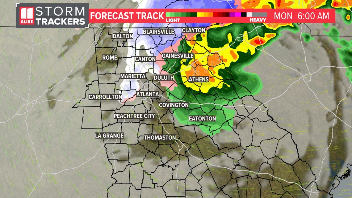
The 11Alive StormTrackers are tracking much colder air that came in late Sunday. Some areas fell into the 30s Sunday night, which allowed mother nature to squeeze out some light snow and a wintry mix.
The snow ended by sunrise and we weren't expecting it to stick for very long.
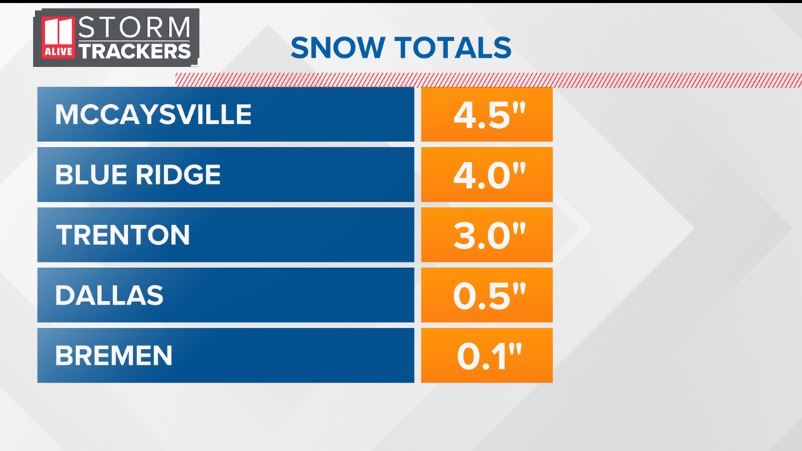
Here's a sampling of some of the snow totals from overnight.

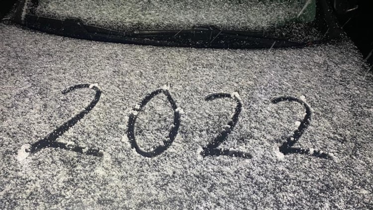
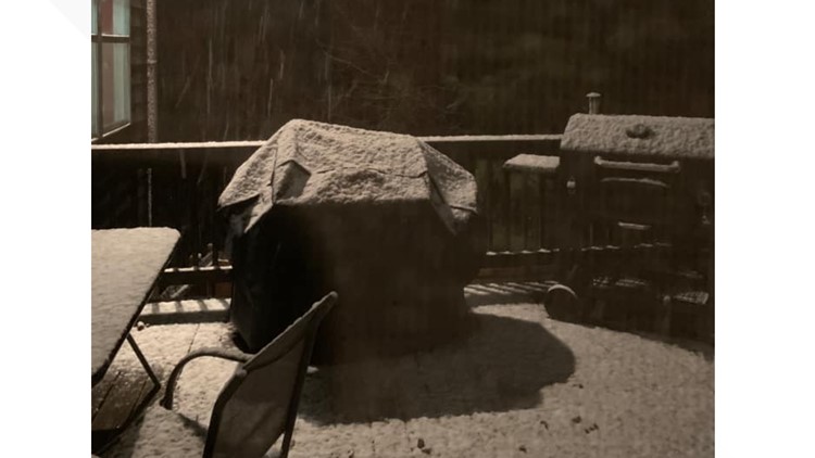
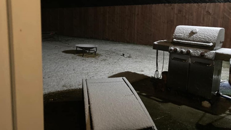
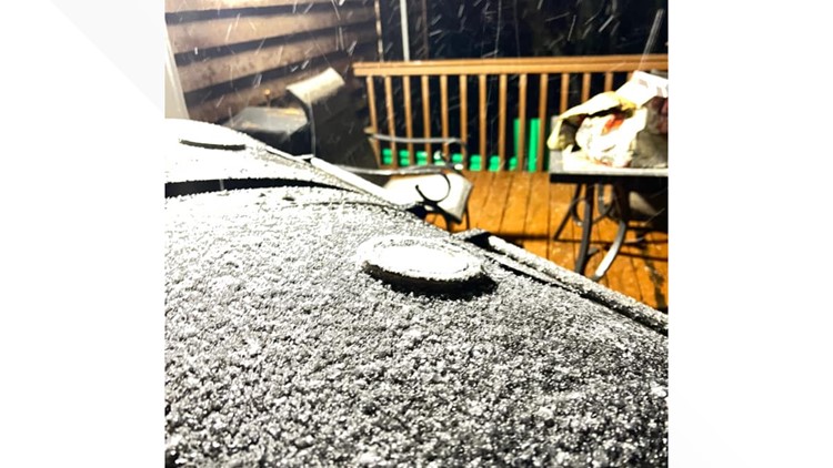
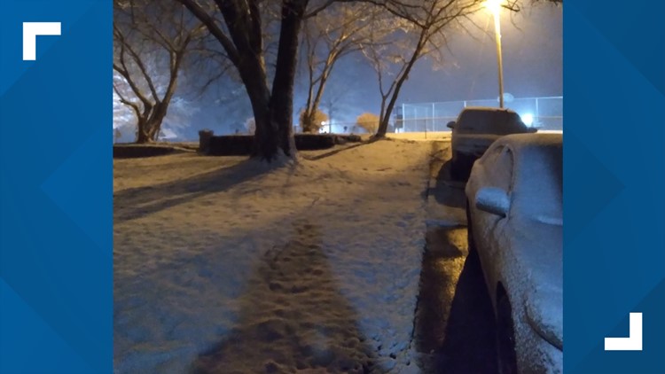
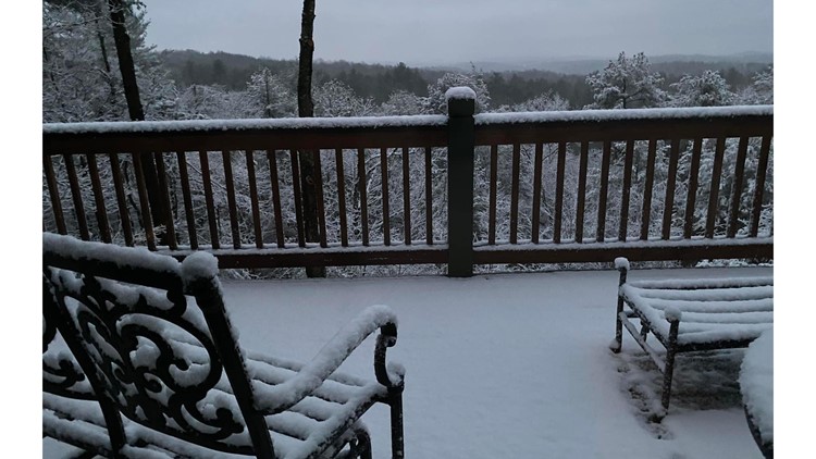
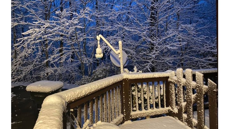
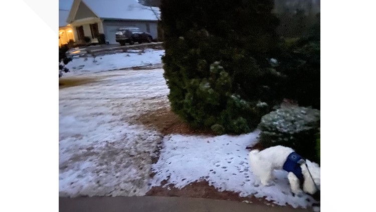
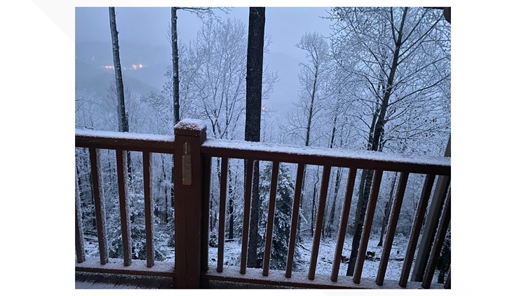
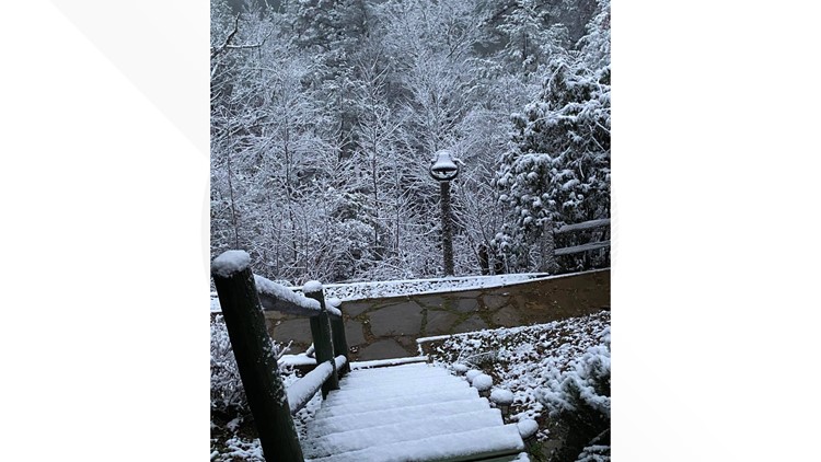
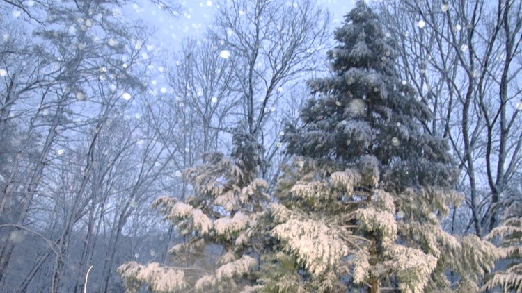
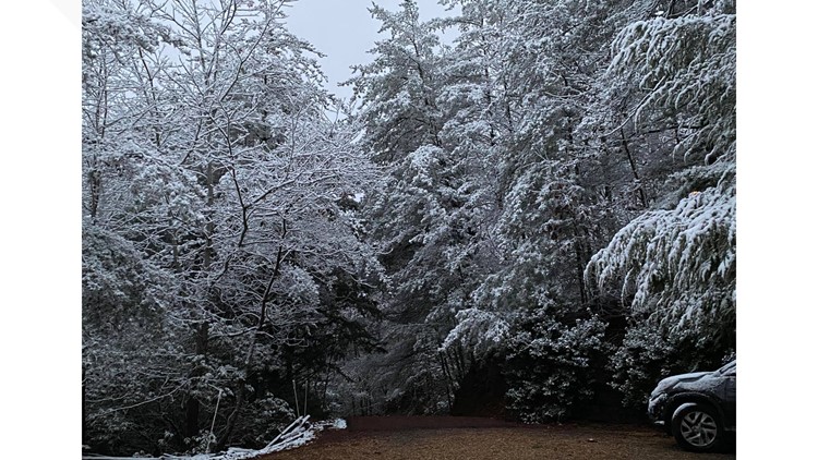
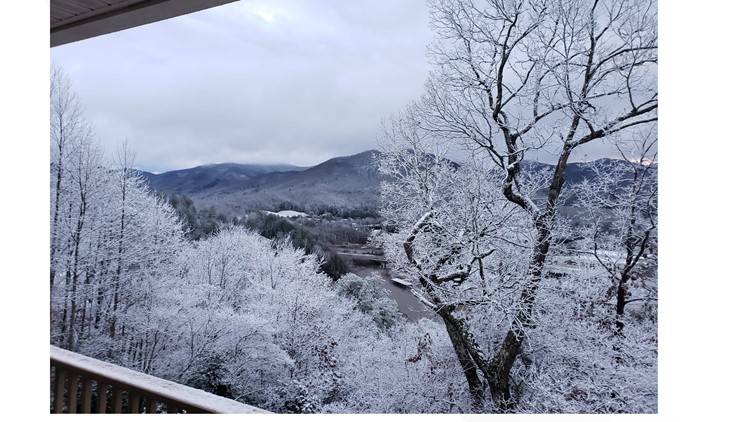
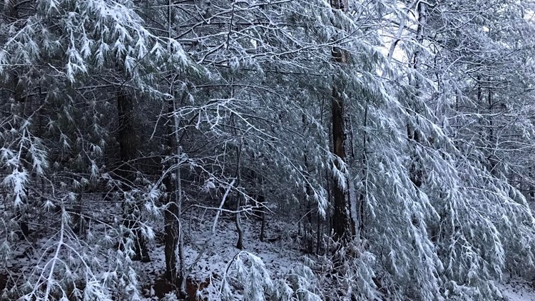
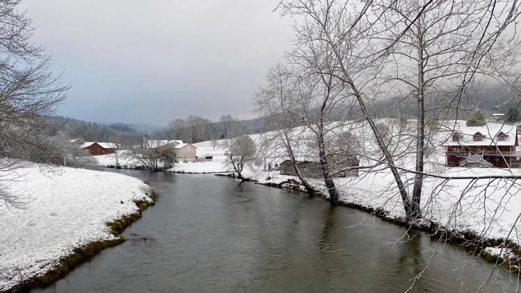
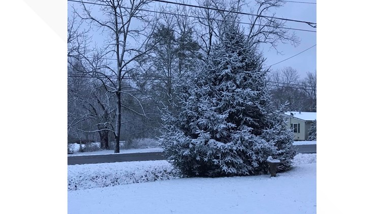
Our 11Alive StormTrackers have been sharing photos and video on our Facebook page. Did you see snow in your area? Share it with us! Text 404-885-7600 or join the Facebook group! Here are some of the photos we've received from you!
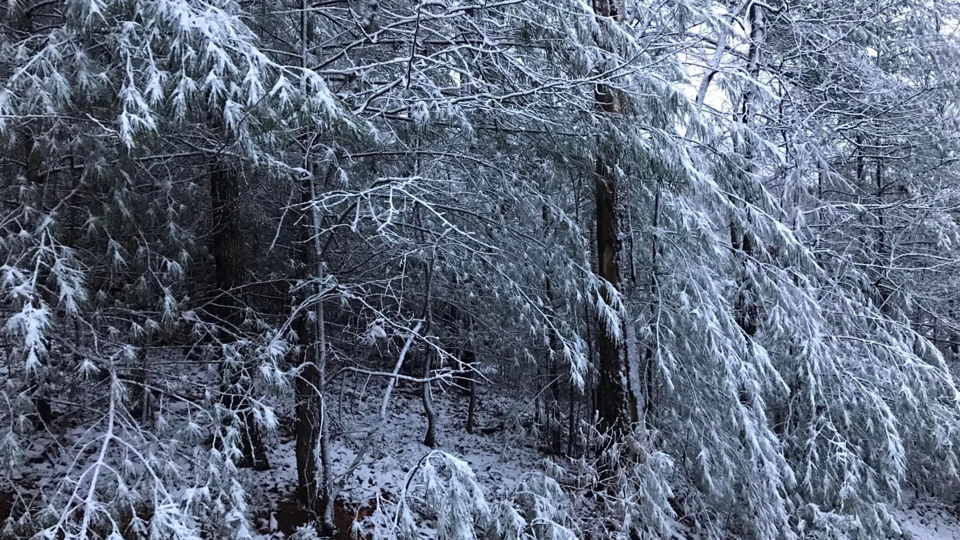
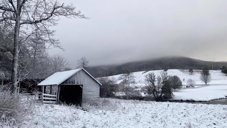
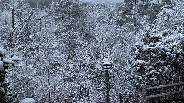
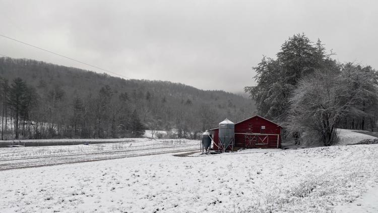
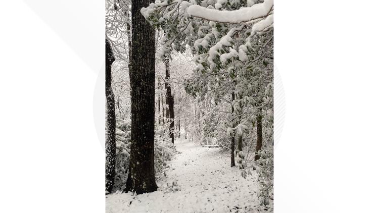
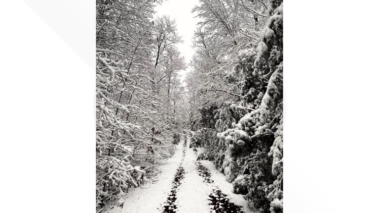
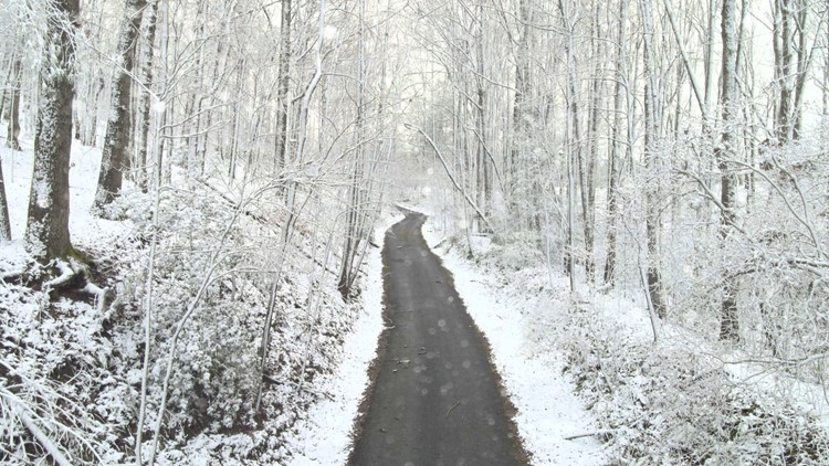
Photos: Snow in north Georgia


ORIGINAL STORY:
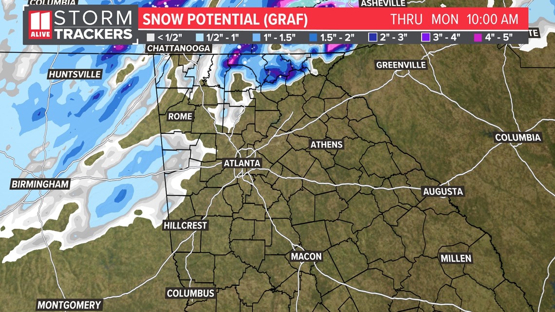
A winter storms warning is in effect for Murray, Gilmer, Fannin, Union, and Towns counties through 9 a.m. Monday. Elevations above 2000 feet could see accumulations up to 4 inches on grassy areas or elevated surfaces.
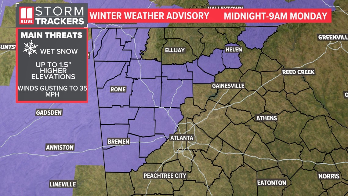
A winter weather advisory is in effect for far north Georgia from midnight to 9 a.m. Monday. Dade, Walker, Catoosa, Whitfield, Murray, Fannin, Gilmer, Union, Towns, Chattooga, Gordon, Pickens, Dawson, Lumpkin, White, and Floyd counties are in the advisory.

The National Weather Service has expanded the zone under a winter weather advisory to now also include Bartow, Carroll, Cherokee, Cobb, Douglas Polk, Paulding and Haralson counties.
Lower elevations would see from dusting to an inch and a half.

What You Need To Know:
- Far north Georgia could see flakes Sunday night
- Accumulations will mainly be confined to the highest elevations in far north Georgia primarily on grassy and elevated surfaces
- For the Atlanta area, some flurries may be seen north of I-20, but no accumulations are expected
Here's Who Could See Snow:
Accumulations will mainly be confined to the higher elevations of the North Georgia mountains. Thanks to our streak of record warmth, the ground temperatures will be very warm still as the snow falls. This will help paved surfaces melt the snow as it falls.
In those higher elevations, up to 4" an inches is possible overnight. For the Atlanta metro, areas north of I-20 may see some flurries or bursts of snow. We do not expect any accumulations.

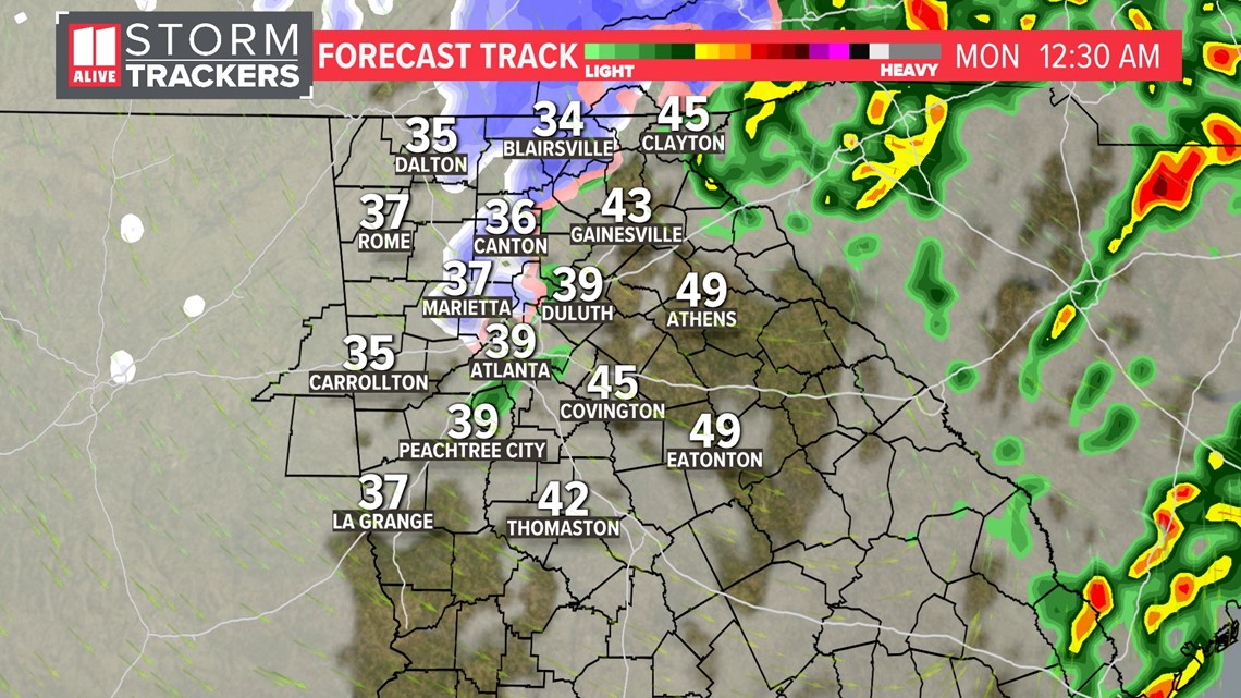
Timing of Snow:
The changeover from rain showers to snow showers or flurries will be between Sunday midnight and Monday 6 a.m.

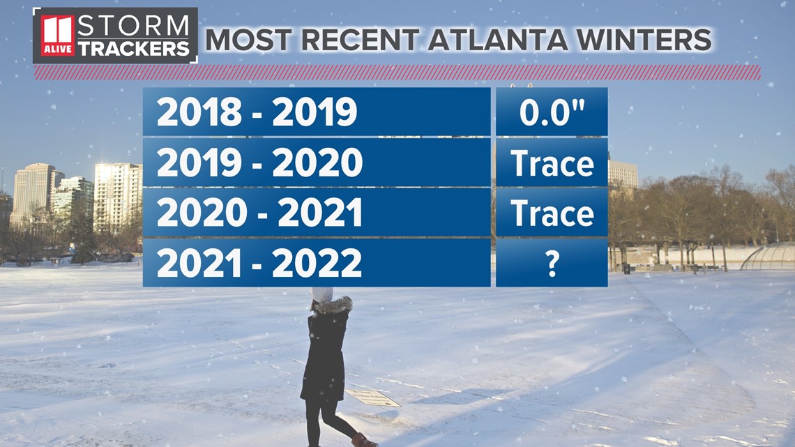
What is typical of Atlanta winters?
Atlanta averages 2.2 inches of snow each winter, based on the last 30 years of weather data. But the last three years have brought no measurable snow to Atlanta!
This winter is not forecast to be great for snow lovers. But it only takes one decent snow day to make it a big snow year for us in the Peach State!