Heavy rains began arriving in metro Atlanta late Sunday morning, as now Tropical Depression Nate continues moving into the area.
At 10:31 am, the National Weather Service advised that heavy rains may cause temporary street flooding, especially in poor drainage areas.
A strong thunderstorm was reported moving into the path of Atlanta, Marietta, Canton, Sandy Springs, Smyrna, East Point, Kennesaw, Woodstock, Acworth, College Park, Holly Springs, Hapeville, Fair Oaks, Midtown, Grant Park-Zoo Atlanta, Kellogg Creek, Vinings,Sweet Auburn, Piedmont Park and Cascade Heights.
11Alive Chief Meteorologist Chris Holcomb is forecasting that Atlanta can still expect heavy rain and strong winds Sunday afternoon, with the highest impacts northwest of Atlanta.
At 10 am, the National Weather Service said all coastal warnings related to the storm have been discontinued.
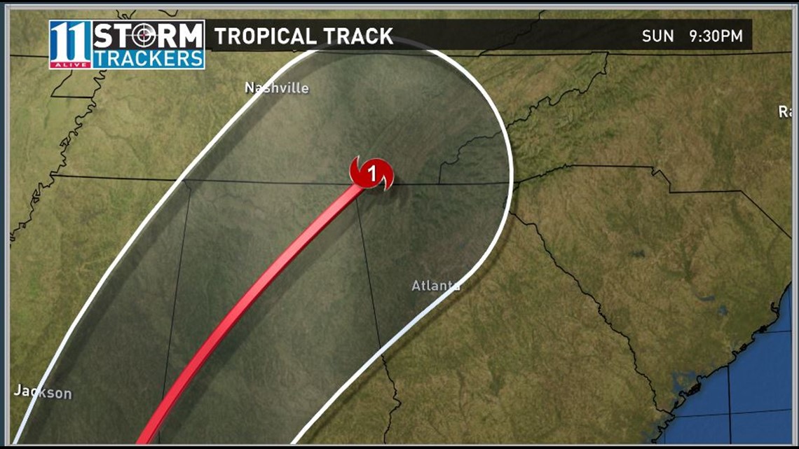
On the forecast track, Nate's center will continue to move inland across the Deep South, Tennessee Valley, and central Appalachian Mountains through Monday.
Winds have decreased to near 35 mph (55 km/h) with higher gusts. Little change in strength is predicted during the next couple of days, but Nate is forecast to become post-tropical on Monday or Tuesday.
At around 1:30 a.m. EST, the storm made landfall near Biloxi Mississippi about 5 hours after first hitting the coast earlier near the mouth of the Mississippi River. Nate then had maximum winds of 85 mph.
At 7 am on Sunday, the center of Tropical Storm Nate was moving north-northeast near 23 mph (37 km/h). A turn toward the northeast with an increase in forward speed is expected during the next couple of days.
On the forecast track, Nate's center will continue to move inland across the Deep South, Tennessee Valley, and central Appalachian Mountains through Monday.
Maximum sustained winds have decreased to near 45 mph with higher gusts. Nate is expected to continue to quickly weaken as it moves farther inland. It should degenerate into a remnant low late Monday.
Tropical-storm-force winds extend outward up to 150 miles primarily southeast of the center over water. A wind gust to 58 mph (93 km/h) was reported at Destin, Florida within the past couple of hours.
The storm made landfall near Biloxi, Mississippi around 1:30 a.m. EST.
After making landfall on the Gulf Coast of Mississippi, the center of Nate is expected to pass over portions of Mississippi, Alabama and Tennessee through Sunday night.
HURRICANE CENTRAL | See more maps and radar
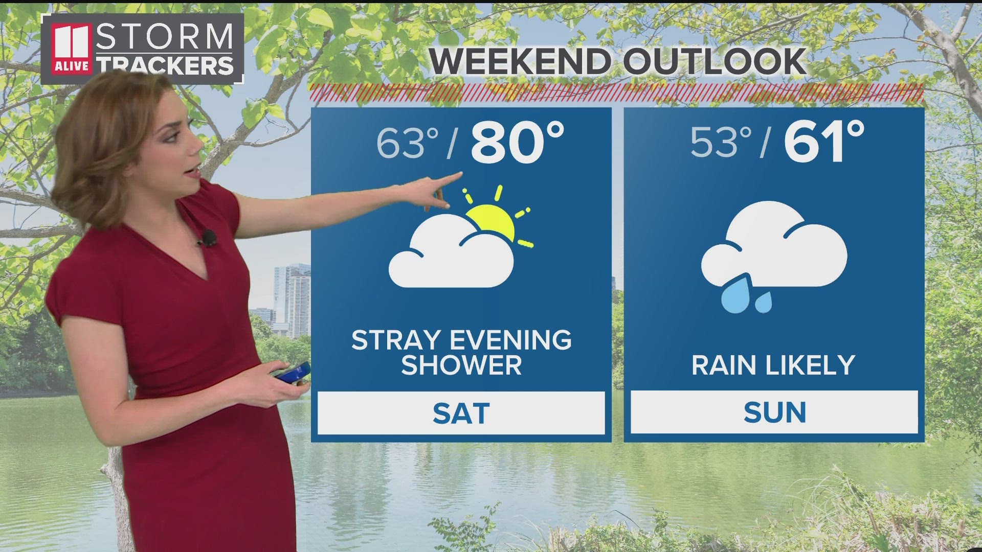
Saturday
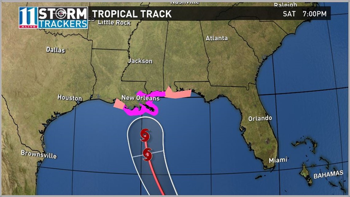
Hurricane Nate continues to progress north northwest over the Gulf of Mexico and is expected to make landfall along the northern Gulf coast overnight tonight.
Weakening is expected after landfall, and the storm is expected to track across Alabama and northern Georgia as a Tropical Storm through Sunday and Sunday night. It should be noted that impacts from heavy rain and potential tornadoes will precede the most significant winds with this system and are possible as early as this evening.
During the height of the storm, winds of 30 to 40 mph will be possible with gusts as high as 50 mph across far northwest Georgia. Storm total rainfall is expected to be on the order of 3 to 6 inches north of a line from Rome, to Dawsonville, to Homer with locally higher amounts possible.
Sunday
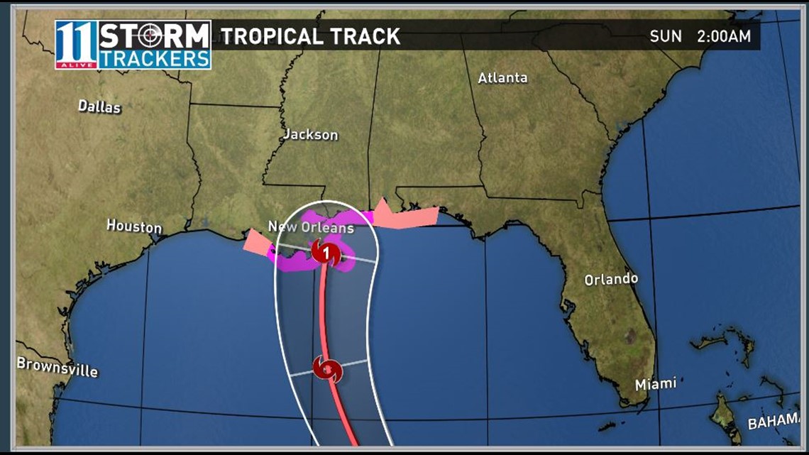
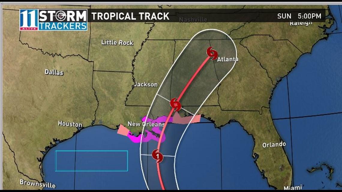
Early Sunday, at around midnight, Nate will make landfall as a Category 1 hurricane. It will move northeast and into north Georgia on Sunday evening. The potential for rain will intensify and we could see some tropical storm force gusts. The potential for severe storms and isolated tornado spin-ups will be likely into Monday morning.
Monday
By early Monday morning, Nate will have moved over eastern Tennessee but Georgia will still be within the cone and we can still see some potential overnight storms.