Hurricane Florence has decreased from a Category 4 to a Category 3 hurricane as of 2pm Wednesday, however, that doesn’t make the storm any less dangerous.
How big is Hurricane Florence?
As of 8pm Wednesday evening, the storm is a Category 3 hurricane with sustained winds near 115 mph. Storm winds extend outward up to 70 miles and there's been a significant rise in pressure. Although slow weakening is expected to begin by late Thursday, the National Hurricane Center (NHC) says that Florence is still forecasted to be an extremely dangerous major hurricane when it nears the U.S. coast late Thursday and Friday.
Where is Florence going to hit?
As of Wednesday afternoon, Florence was centered just over 400 miles southeast of Wilmington, North Carolina, moving northwestward, according to the NHC.
The storm has been taking unprecedented turns this week as it heads towards the East Coast. While it was primarily predicted to impact the North Carolina coast and then head upwards to Virginia, it’s now predicted to bend back going through the South Carolina state and heading towards Georgia.
“This is going to make for horrible inland flooding across all of the Carolinas,” said WCNC Chief Meteorologist Brad Panovich. “If you live anywhere near water, you need to get inland.”
When will Florence impact your state?
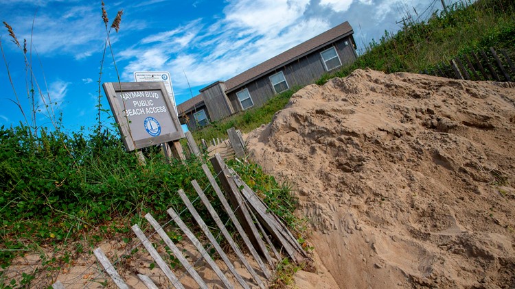
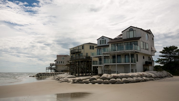
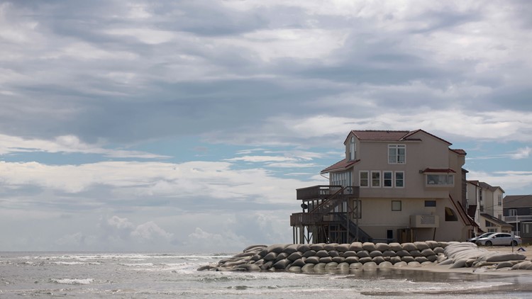
Carolinas: The storm is expected to arrive in the Carolinas overnight Thursday or Friday, and stall for up to 24 hours or more, pummeling the coast and bringing 20 to 30 inches of rain in the coastal areas.
Heading more inland, Charlotte, North Carolina is expecting about seven to ten inches of rain with a high chance of flooding and fallen trees. Meanwhile damaging winds of up to 30 mph could cause downed trees and power lines. The Piedmont Triad should plan on the possibility of seeing winds of 30 to 40 mph, with locally higher gusts.
Georgia: The risk of rain and chance for strong winds will move into northeast Georgia Sunday night into Monday with winds picking up to about 10 to 20 mph with higher gusts at times. Inland cities like Atlanta will be about one to two inches of rain, but closer to the Georgia-South Carolina line can see up to five inches, according to 11Alive Chief Meteorologist Chris Holocomb.
Virginia: Although Florence’s trajectory is no longer predicted to head up the East Coast, the system is still over 400 miles wide and the wind field is extensive. This means that Virginia can still experience the impacts of the storm.
Norfolk could see tropical storm force winds at 37 mph Thursday evening, and can expect about two to four inches of rain. Power outages and coastal flooding are still possible.
Storm Surge, Hurricane Warning – What do these terms mean?
According to the National Hurricane Center, these are the watches and warnings in effect as the East Coast braces for Florence’s impact.
A Storm Surge Warning is means there is a danger of life-threatening flooding from rising water at the coastline moving inland for the next 36 hours. A Storm Surge Warning is in effect for…
- South Santee River South Carolina to Duck North Carolina
- Albemarle and Pamlico Sounds, including the Neuse and Pamlico Rivers
A Storm Surge Watch means that there is a possibility of life-threatening flooding from rising waters at the coastline moving inland for the next 48 hours. A Storm Surge Watch is in effect for…
- Edisto Beach South Carolina to South Santee River South Carolina
- North of Duck North Carolina to the North Carolina/Virginia border
A Hurricane Warning means that hurricane conditions are expected somewhere within the warning area within 36 hours of experiencing tropical storm conditions. A Hurricane Warning is in effect for…
- South Santee River South Carolina to Duck North Carolina
- Albemarle and Pamlico Sounds
A Hurricane Watch means that hurricane conditions are possible within the watch area within 36 hours of experiencing tropical storm conditions. A Hurricane Watch is in effect for…
- Edisto Beach South Carolina to South Santee River South Carolina
A Tropical Storm Warning means that tropical storm conditions are expected somewhere within the warning area within 36 hours. A Tropical Storm Warning is in effect for…
- North of Duck North Carolina to the North Carolina/Virginia border
A Tropical Storm Watch means that tropical storm conditions are expected within the warning area within 48 hours. A Tropical Storm watch is in effect for…
- North of the North Carolina/Virginia border to Cape Charles Light Virginia
- Chesapeake Bay south of New Point Comfort
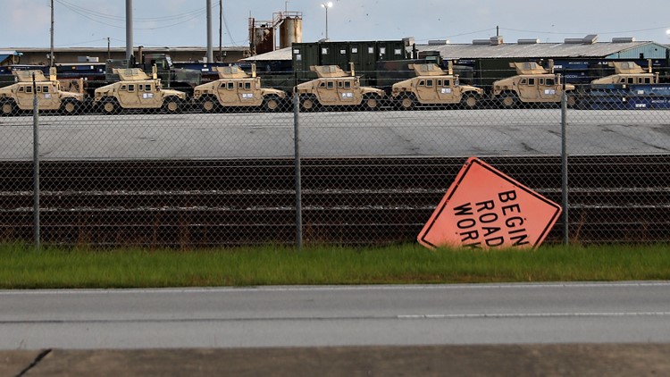
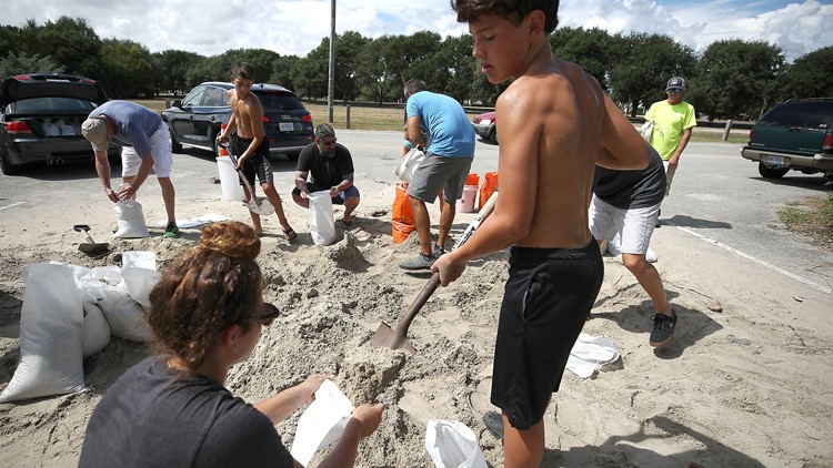
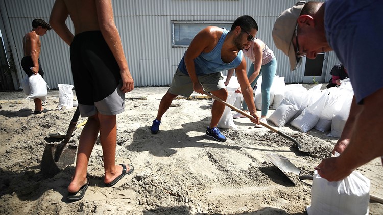
How to prepare for a hurricane
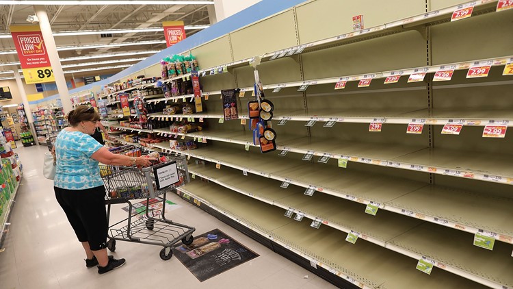
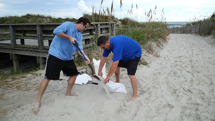
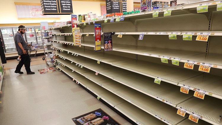
• Put together an emergency kit: This is the first recommendation of the Red Cross, which lists some of the top essentials as water (a gallon per person per day for a minimum of three days), non-perishable food (also at least three days’ worth), medications and medical supplies, flashlights, extra batteries, a first-aid kit and a portable radio.
Personal documents, cell phones with chargers, a can opener and at least one change of clothes also make the list. These necessities can all be assembled well before a hurricane hits.
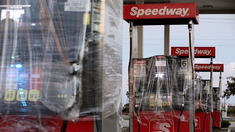
Also make sure the car’s in working order and with a full tank of gas, the cell phones are charged and the drug prescriptions have been filled.
Keep important documents in a safe, accessible place, with copies of files loaded into a flash drive or into password-protected storage. Consider taking cellphone photos of key documents.
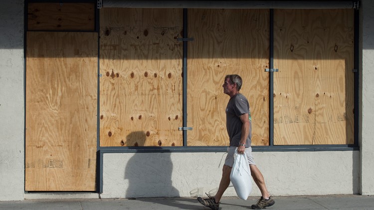
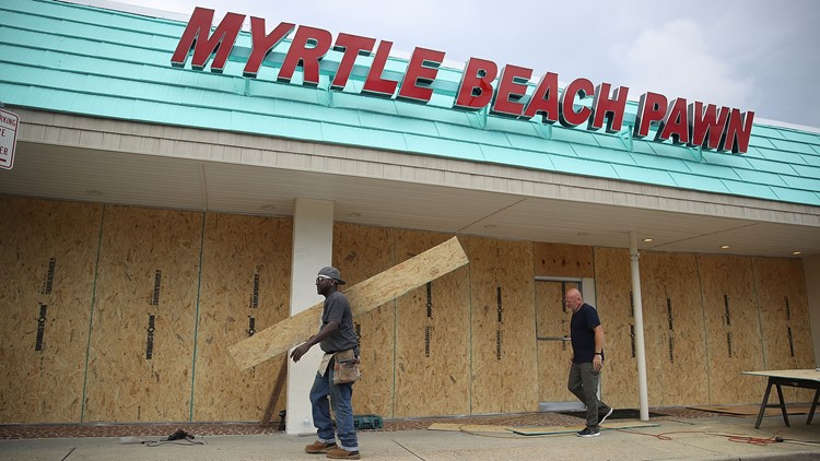
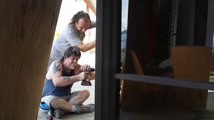
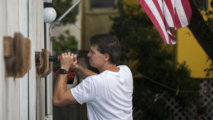
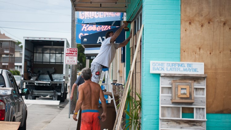
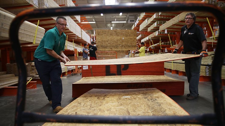
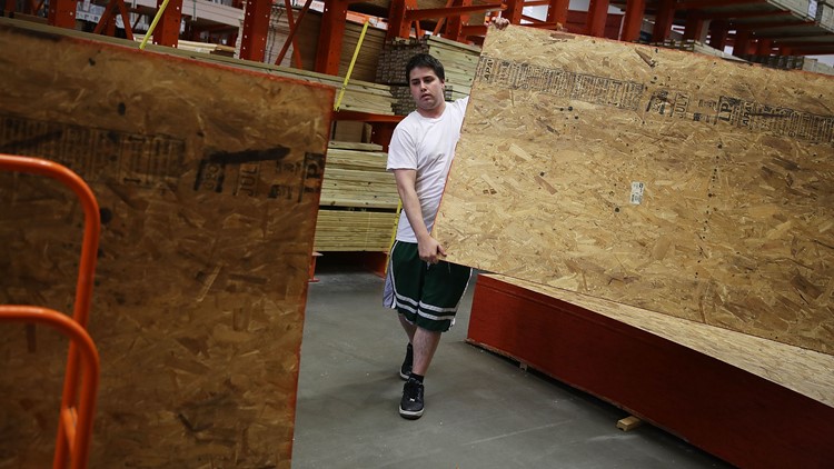
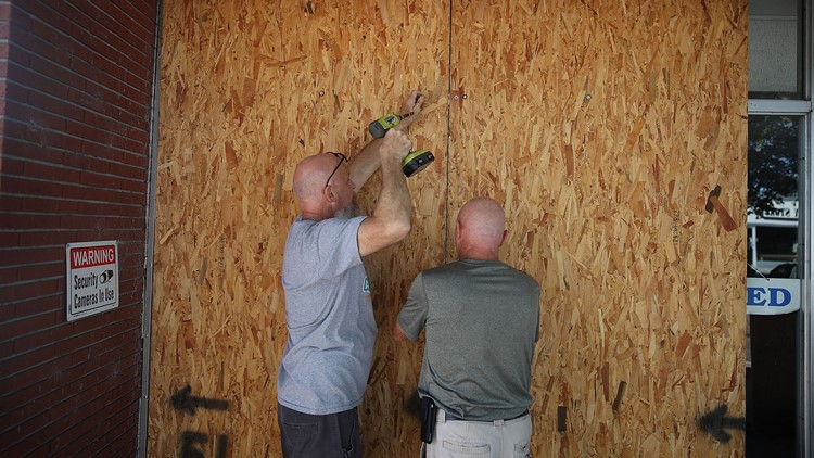
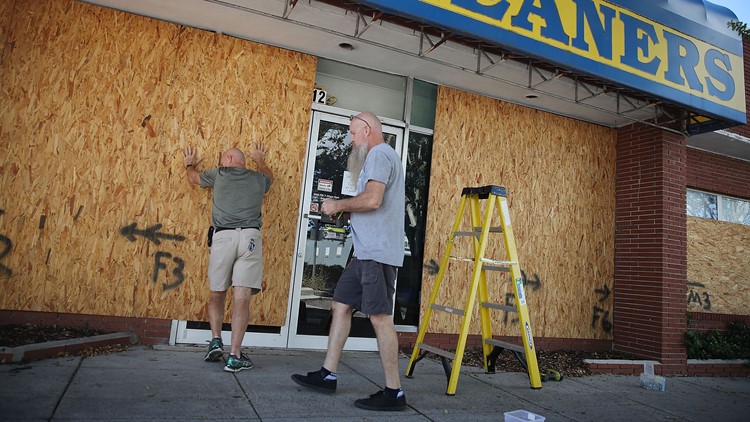
• Board up all windows: Storm shutters provide the best protection, but a solid and less expensive alternative is attaching cut-to-fit plywood over the windows. Don’t fall for the myth that taping windows will protect the glass, as more than half of Americans believe, according to the Federal Alliance for Safe Homes. That may offer some peace of mind but little else.
Secure doors as well, especially garage doors, which tend to be the most vulnerable.
• Bring in untethered items: Patio furniture and other loose items can become projectiles in strong winds. They should be stored inside. If it’s not safe to do so, as is the case with propane tanks, anchor them. Also, trim trees with branches that could damage the house, clean gutters and downspouts and move cars out of flood-prone areas.
• Have a plan: Be aware of your area’s evacuation route and the location of local shelters. Come up with an emergency plan – accounting for any pets – and share it with the rest of the household. Everyone in the family should know what to do and how to contact each other if they’re away from the house in an emergency. Also share the plan with a friend or relative away from the storm area.
Many shelters don’t accept animals, so people with pets and livestock should look into evacuating them ahead of time to a safe area.
• Be careful when using a portable generator: Though generators can keep the lights on and the refrigerator running during a power outage, they come with some inherent risks.
Generators should never be used indoors – not even in a garage or basement – and must be kept at least 30 feet from the house to prevent carbon monoxide poisoning, which can be lethal. And it’s not advisable to use a generator if the home has flooded, which increases the chances of electrocution.
In addition, experts say the safest and most efficient way to use a generator is to have a qualified electrician install a transfer switch to feed power into the house. Backfeeding, the practice of plugging the generator directly into the home’s power outlets, is illegal and dangerous.
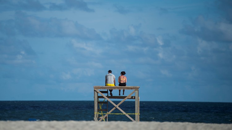
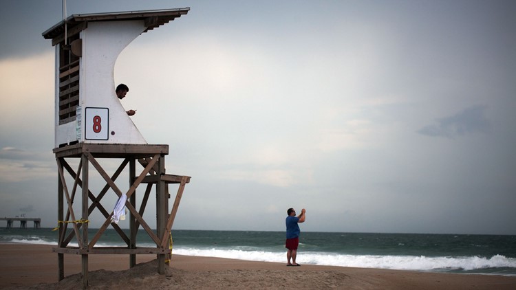
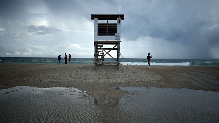
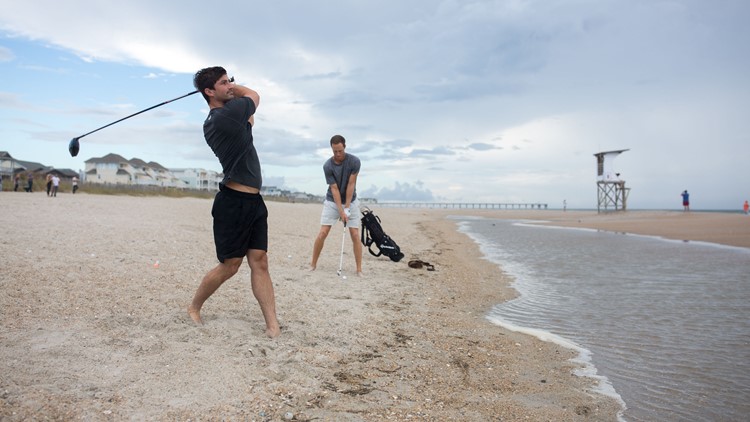
• Know what to avoid: Don’t walk, drive or swim in flood waters if at all possible; they may be contaminated or hiding dangerous debris or a downed power line. Also stay away from beaches and riverbanks. If the power is out, rely on flashlights instead of candles for illumination.
• Follow instructions: Evacuate immediately if told to do so by authorities, who may also ask you to shut down your power and/or water. Keep track of local news. Alert family and friends of your situation and whereabouts.
USA TODAY contributed to this story.