5:48 PM | The City of Johns Creek has closed Buice Road at Johns Creek - between Farmbrook Lane and Twingate Drive - due to excessive rains and high water. City officials are warning for drivers to avoid the area and use alternate routes.
City crews are monitoring the situation and will provide updates.
5:08 PM | Several more counties have been placed under a flood warning, including Forsyth, Lumpkin, Gilmer and Dawson Counties until 11:15 p.m. Monday.
4:40 PM | Cherokee 911 is reporting flooded roadways at Palm Street and Toonigh Road, Shoal Creek Road, Hwy 140 east, Cherokee Drive, Hickory Road at New Light Road, the Walmart at Hwy 92 and more.
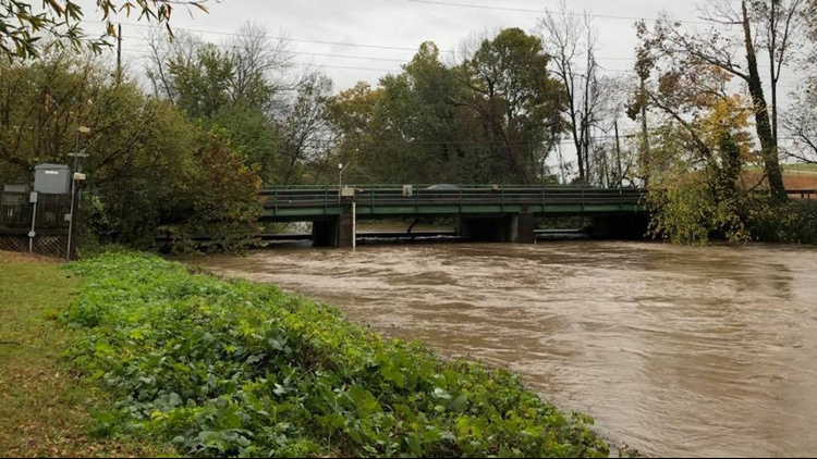
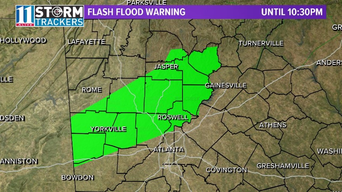
4:34 PM | The National Weather Service issued a Flash Flood Warning for arts of Paulding, Cherokee, Carroll, Cobb, Haralson, Floyd, Fulton, Polk, Pickens and Bartow Counties until 10:30 p.m.
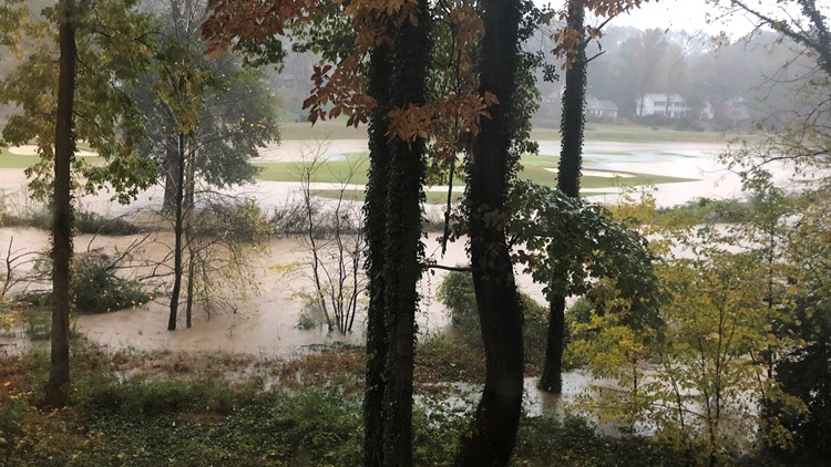
Several reports of water over roadways have occurred in an area that has already received up to 3 inches of heavy rain. An additional half-to-one-inch of rain may fall this evening. Flash flooding is expected to begin shortly.
Some areas that may experience flash flooding in connection with this include Marietta, Canton, Cartersville, Dallas, Cedartown, Jasper, Buchanan, Sandy Springs, Roswell, Johns Creek, Alpharetta, Smyrna, Dunwoody, Milton, Kennesaw, Woodstock, Acworth, Villa Rica, Powder Springs and Holly Springs.
In addition, a Flood Watch has also been issued for most of metro Atlanta through Wednesday morning.
According to 11Alive Chief Meteorologist Chris Holcomb, several weak surface lows will be moving across the area during the period, bringing periods of heavy rain across the region.
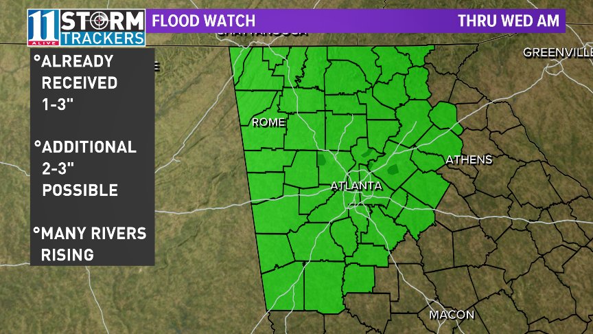
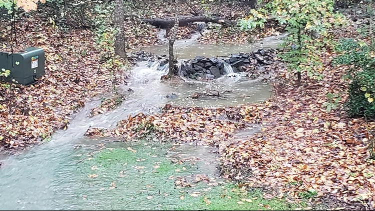
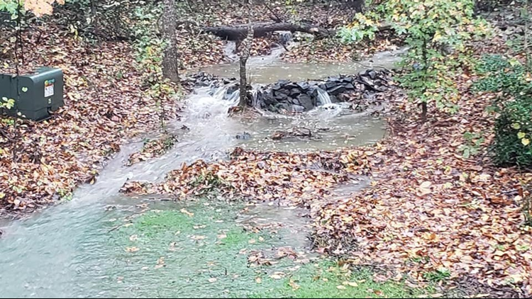
Most areas have already received 1 to 3 inches of rainfall. An additional 2 to 3 inches of rainfall is expected with locally higher amounts possible across the region.
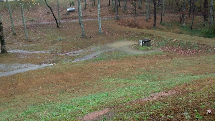
Several creeks and rivers are likely to rise out of their banks through Wednesday morning, which may lead to the closing of some roads and impacting homes, businesses and farms. The rising water may not recede until well after the rainfall has ceased falling.
A flood watch means that conditions are right for potential flooding, based on current forecasts. Viewers should continue to monitor weather statements and be aware of rapidly changing weather conditions and possible flood warnings.
As of Monday afternoon, flood warnings have already been issued for portions of Big Creek near Alpharetta and Cumming, Pew Creek in Lawrenceville, Crooked Creek near Norcross, Allatoona Creek near Mars Hill, Sweetwater Creek in Lilburn, Noonday Creek in Woodstock and Euharlee Creek in Rockmart.
► UPLOAD | Send us your weather pictures here
► Download the FREE 11Alive News app now in the iTunes store or on Google Play.
► POWER OUTAGES CHECK | Georgia Power customers, check here. Georgia EMC customers check here.
► Have a news tip? Email news@11alive.com, visit our Facebook page or Twitter feed.
Persons in those areas should remain alert and aware of rapidly changing weather conditions.
Stay with the 11Alive Storm Trackers for updated weather forecasts and possible weather warnings as they are issued.