
ATLANTA — The 11Alive Storm Trackers are watching a line of rain showers, which is expected to turn to a wintry mix over parts of the North Georgia mountains late Wednesday night.
Closer to metro Atlanta, the temperatures are expected to remain above freezing, so the only precipitation that falls will stay in the form of rain.
As the moisture moves out of the region during the overnight hours, it will all taper off.
The wintry mix may change to all snow in some areas before ending before sunrise on Thursday.
In the far northwestern counties of the state - primarily across portions of Dade, Walker, Catoosa, Whitfield, Chattooga, Gordon, Pickens, Dawson, Lumpkin and White counties - any accumulations of snow are expected to be light, ranging from a dusting up to a quarter of an inch.
Over some of the higher elevations in the north and northeast Georgia mountain areas, particularly in Murray, Fannin, Gilmer, Union and Towns counties, accumulations of up to a half-inch are possible.
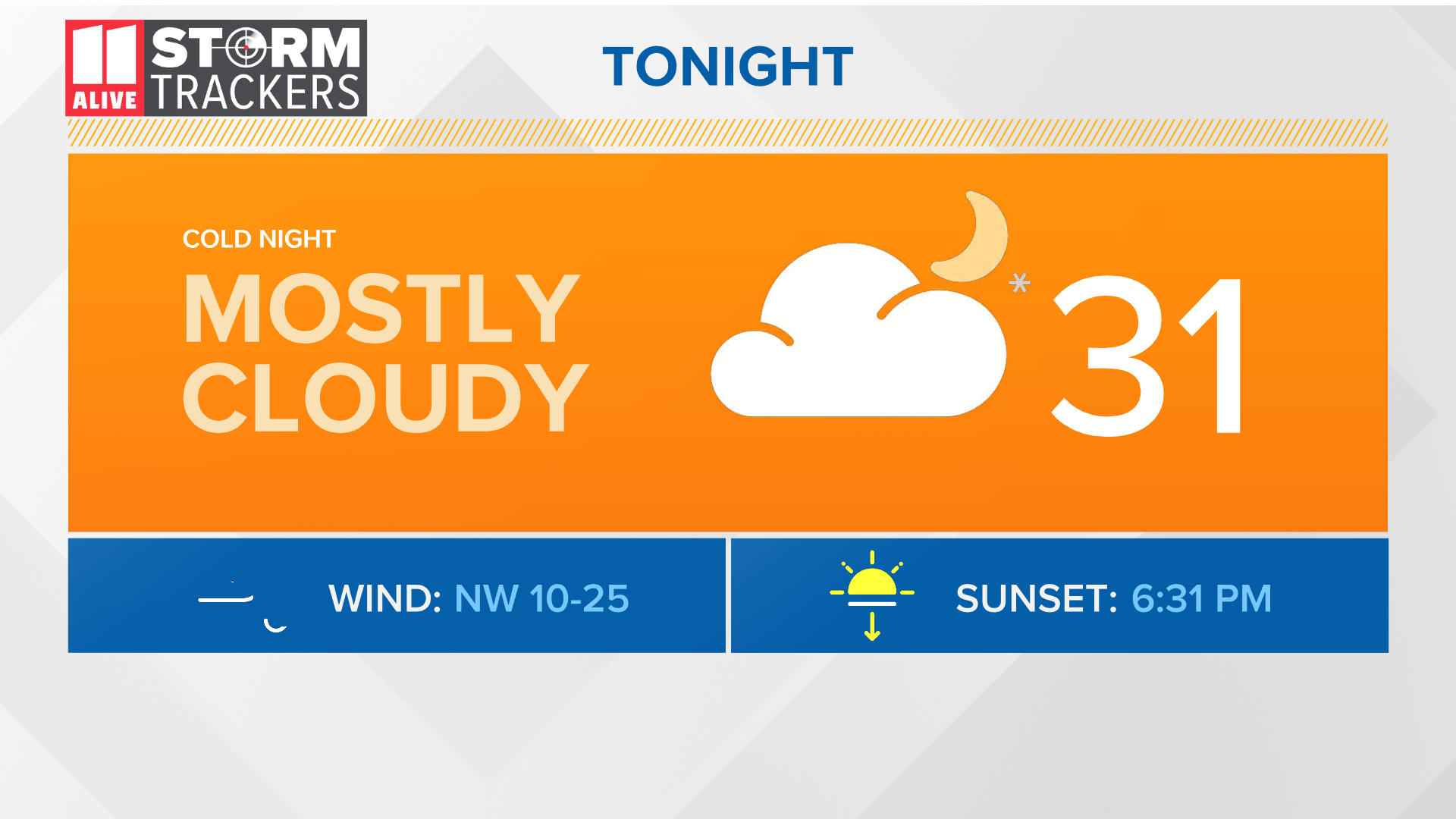
On Thursday, 11Alive chief meteorologist Chris Holcomb says that temperatures across the region are expected to moderate. After a morning low of 31 degrees, temperatures will get back up into the high 40s by the afternoon under sunny skies.
POWER OUTAGES CHECK | Georgia Power customers, check here. Georgia EMC customers check here.
RELATED STORIES |