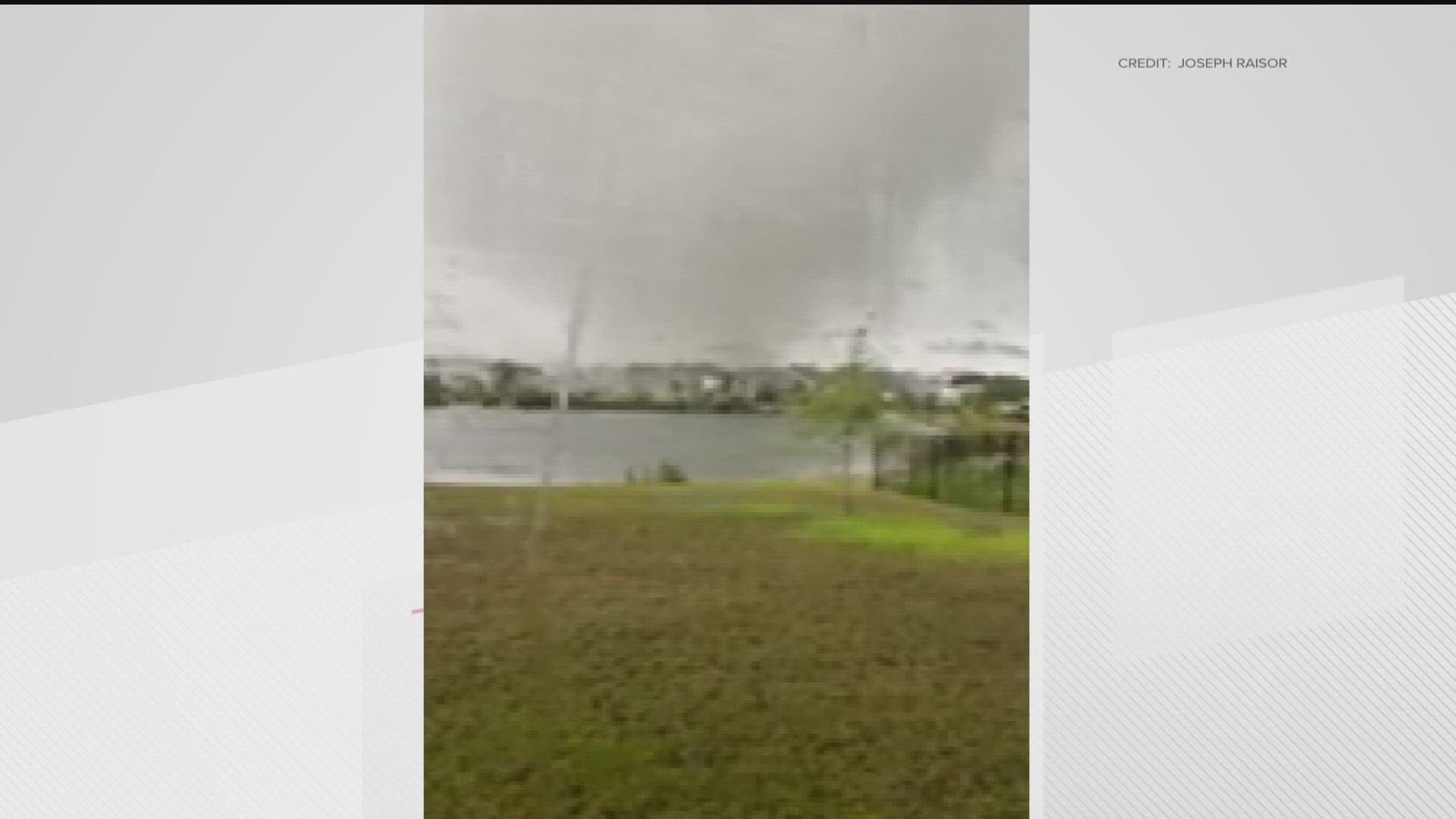
ATLANTA — 11Alive StormTrackers are keeping a watchful eye on the storms moving through the area.
Scattered downpours and thunderstorms are expected to continue through the evening hours. Where the thunderstorms form, there will be heavy rain, frequent lightning, and gusty winds. This pattern will continue for the rest of the week.
Get updates on weather conditions below.
UPDATES
6:17 PM | A severe thunderstorm warning has been issued for Fannin and Gilmer counties until 6:45 p.m.
6:16 PM | A severe thunderstorm warning has been issued for Chattooga, Dade, and Walker counties until 6:45 p.m.
5:54 PM | A severe thunderstorm warning has been issued for Troup County until 6:30 p.m.
5:13 PM | A severe thunderstorm warning has been issued for Bartow, Cherokee, and Pickens counties until 6 p.m.
5:10 PM | A severe thunderstorm warning has been issued for Floyd and Polk Counties. It will expire at 6 p.m. At 5:08 p.m., a severe thunderstorm was located near Cedartown, moving north at 10 mph.
4:38 PM | A severe thunderstorm warning has been issued for Coweta County until 5:15 p.m. AT 4:31 p.m., a severe thunderstorm was located over Madras, or near Newnan, moving southeast at 5 mph.
Download the FREE app now in the iTunes store or on Google Play.
POWER OUTAGES CHECK | Georgia Power customers, check here. Georgia EMC customers check here.