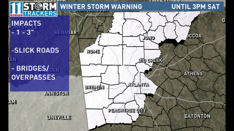
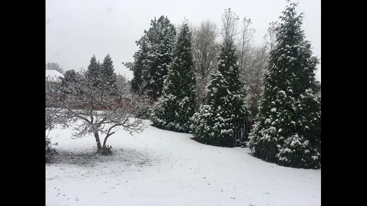
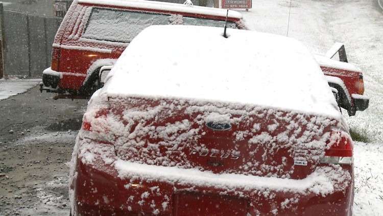
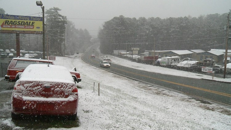
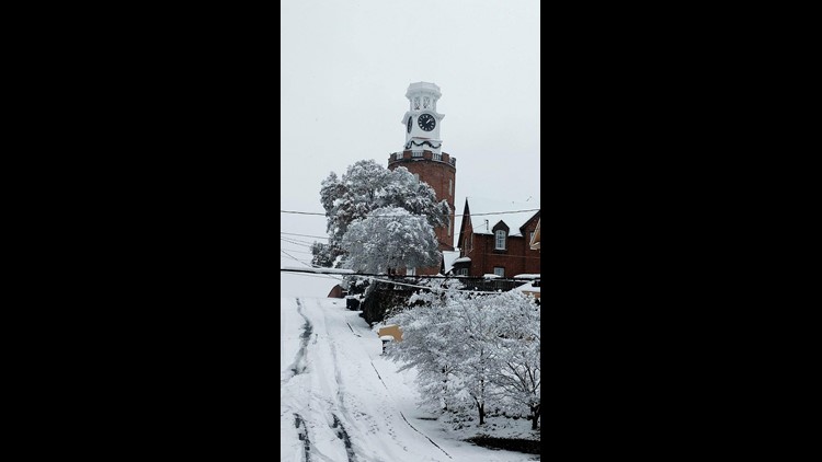
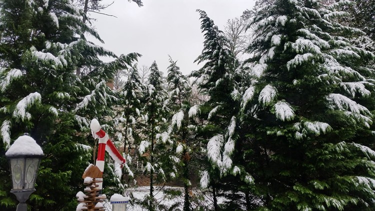
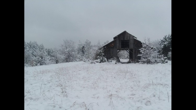
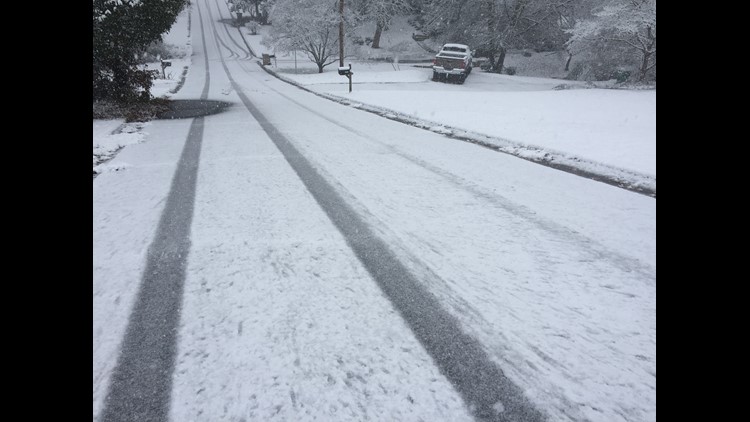
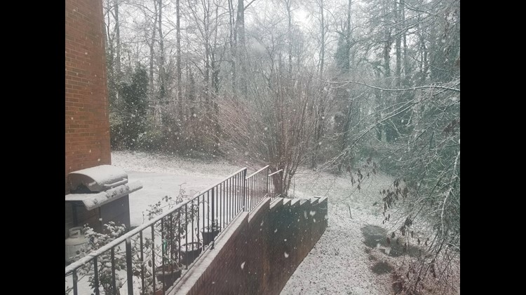
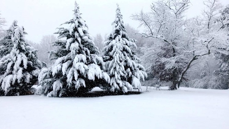
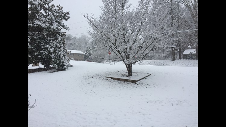
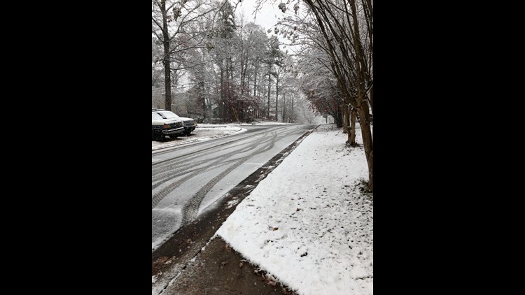
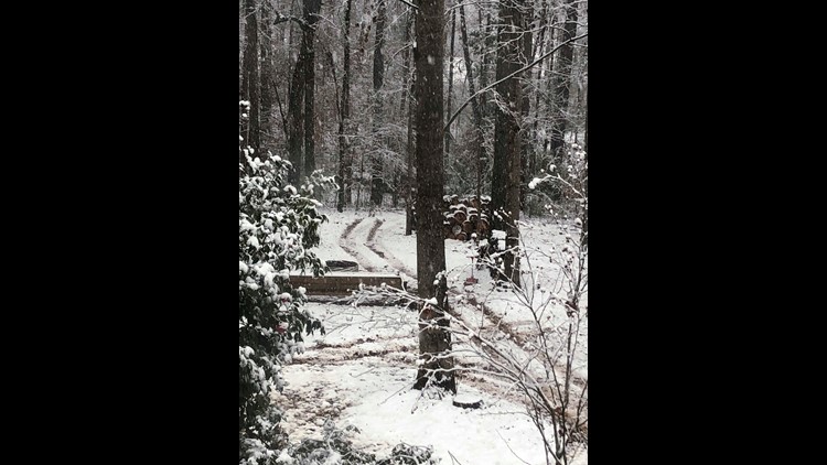
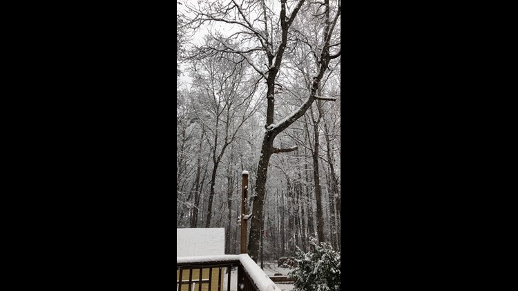
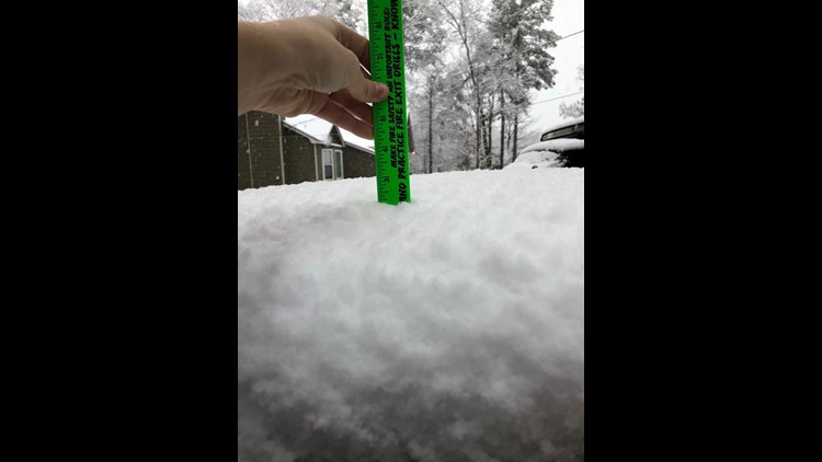
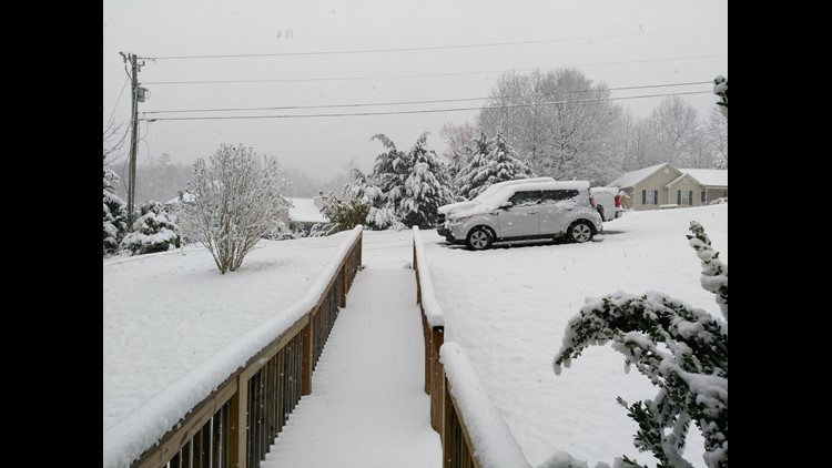
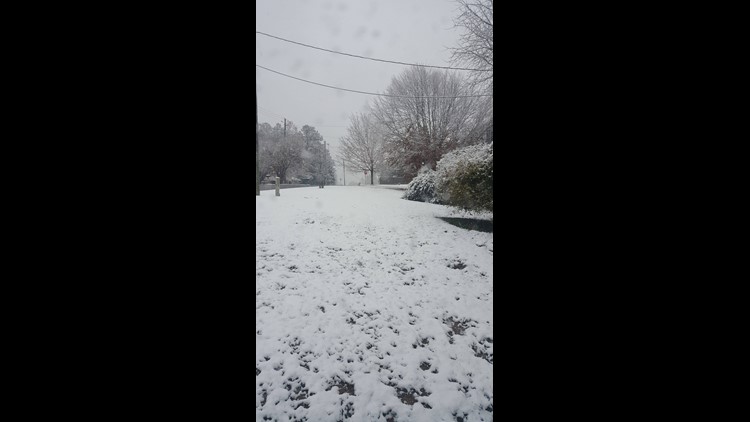
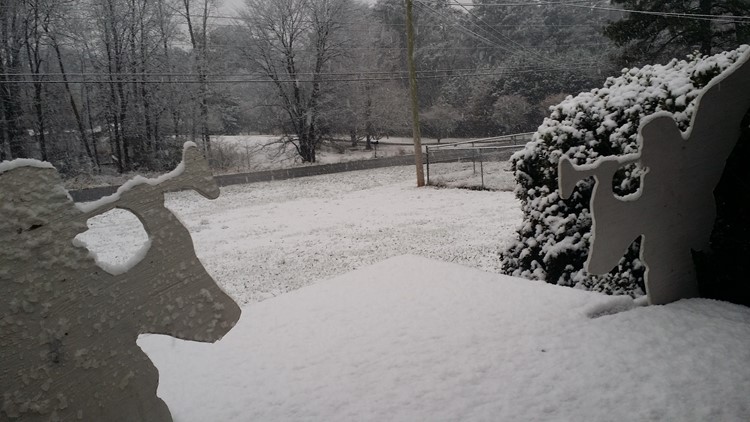
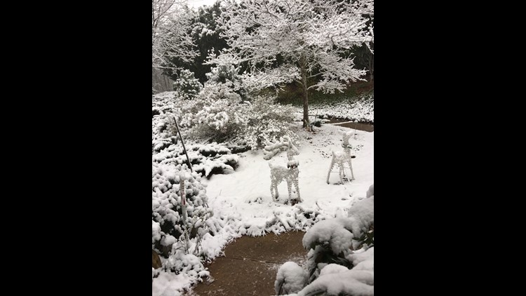
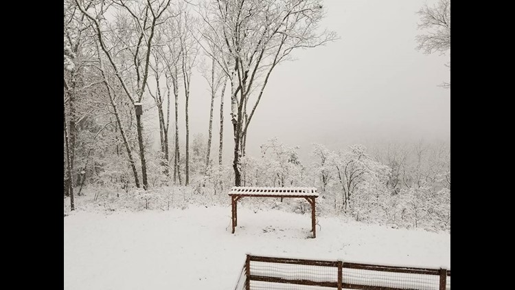
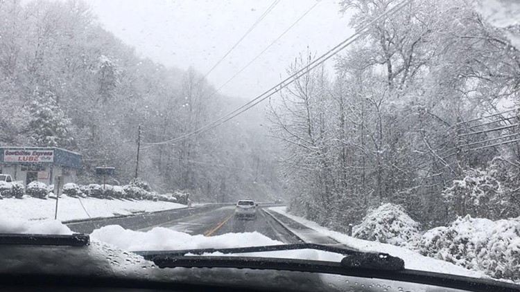
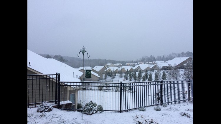
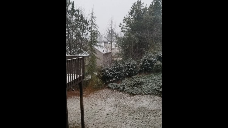
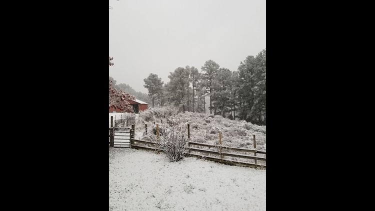
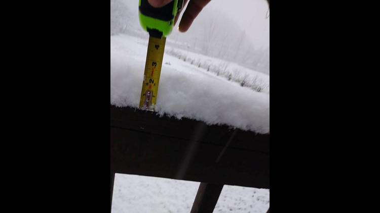
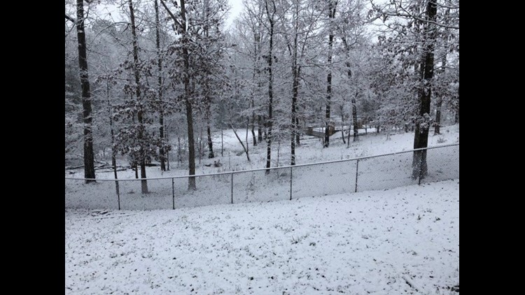
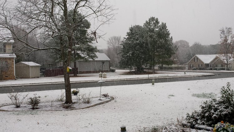
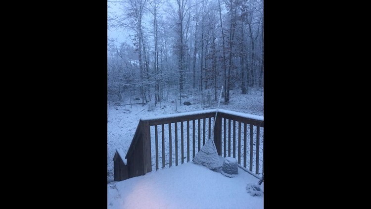
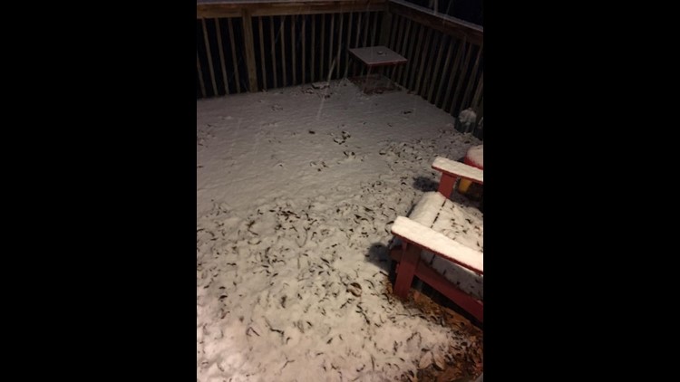
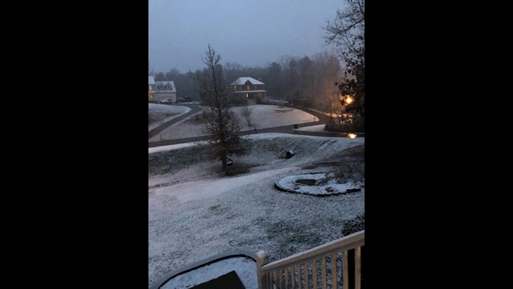
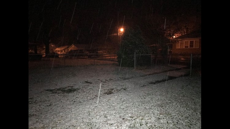
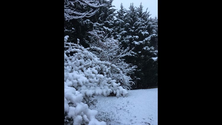
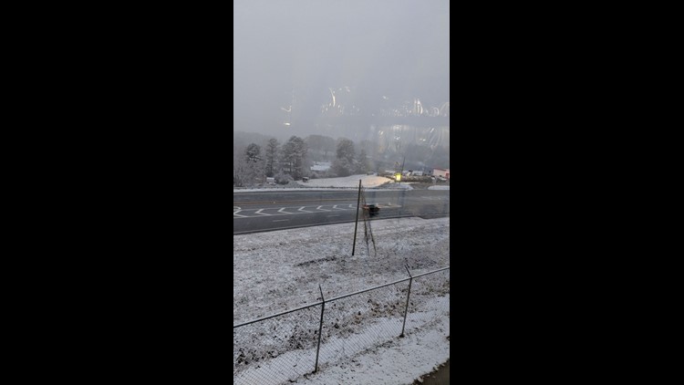
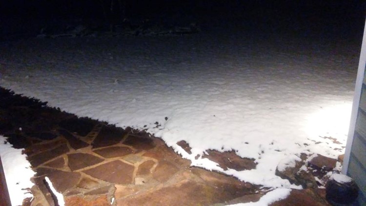
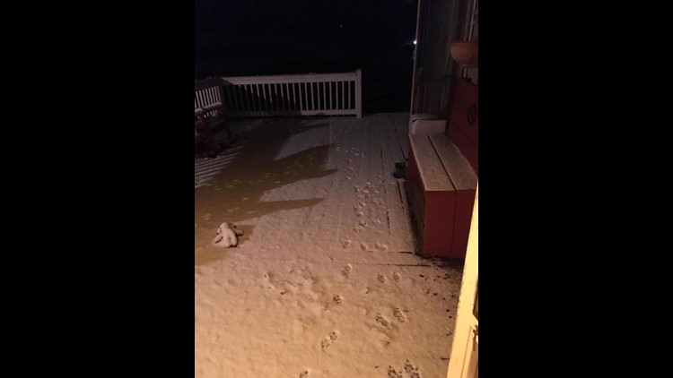
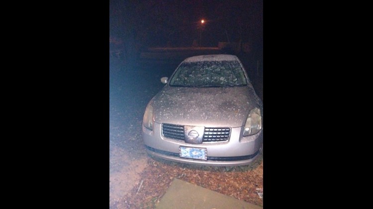
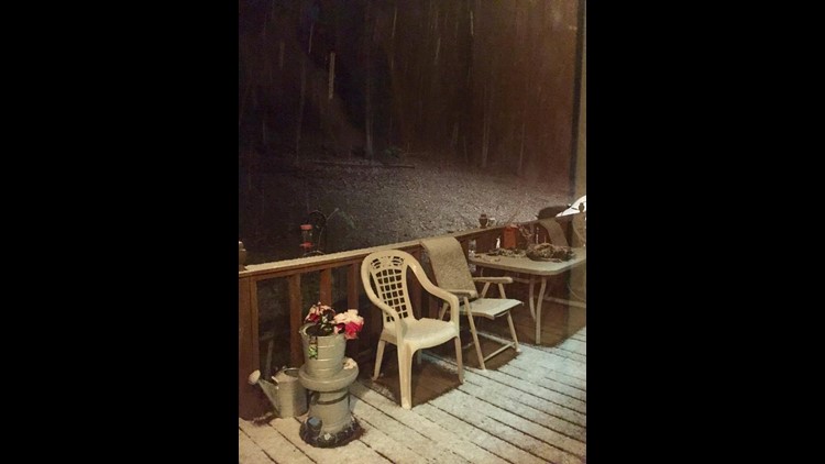
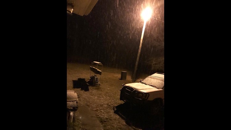
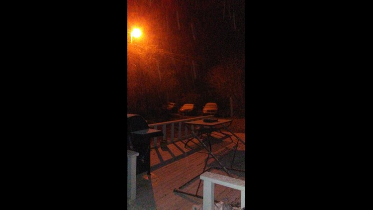
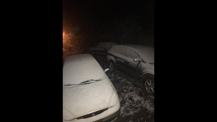
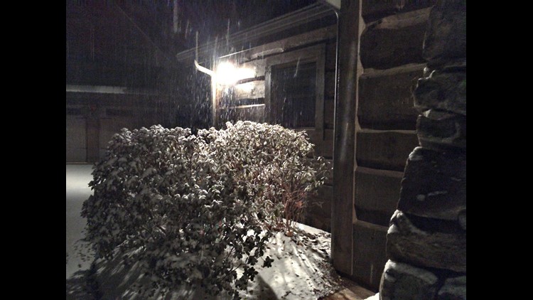
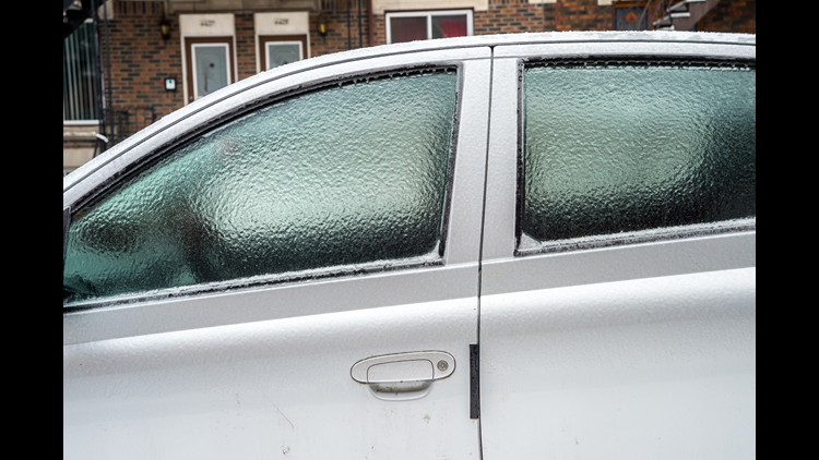
An unexpectedly heavy snowfall hit has Atlanta and north Georgia on Friday and early Saturday, a winter storm that could leave a lasting impact at least through the remainder of the weekend.
The winter storm warning that had been issued for the mountains of northeast Georgia and the central and southern mountains of North Carolina until noon on Saturday has since been lifted.
Snow has stopped falling across most of north Georgia and the sun has come out in most areas. As of 1 p.m., temperatures across most of north Georgia was in the low to mid-30s.
WEEKEND
It will still be cold on Saturday. A few lingering flurries early Saturday will end. The clouds will eventually break to allow some sunshine to come through in the afternoon. Morning temperatures will linger around 30-32 degrees. We expect dangerous travel early on Saturday. Temperatures should move above freezing by 10am. IT will take a while for all of the snow and moisture left to dry up. We will eventually warm up with afternoon highs up to 40.
It will be dry overnight Saturday into Sunday. Any snow or moisture left on the ground would develop slick spots again on Sunday morning. Bitter cold wind chills in the teens are expected during the overnight and early morning hours Sunday. Sunday's morning temps will be around 26. It will get up to 43 in the afternoon.
It stays dry through the week. Temperatures will remain below average.
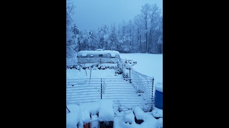
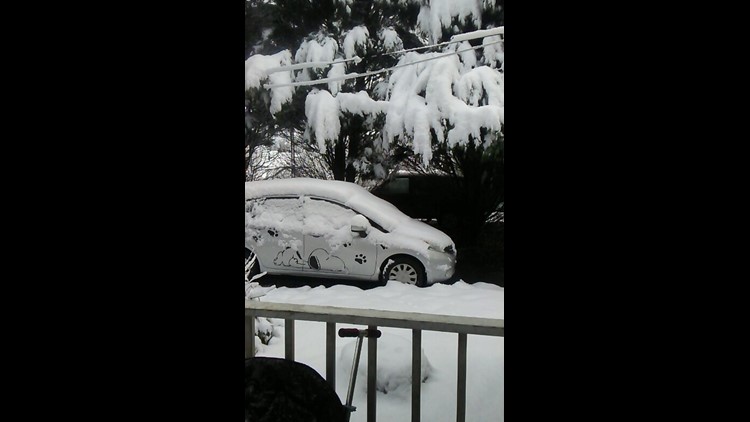
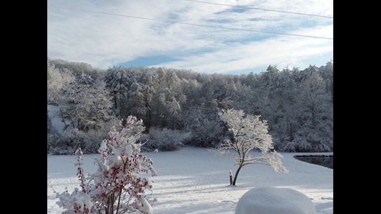
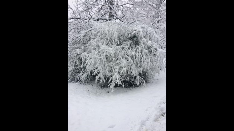
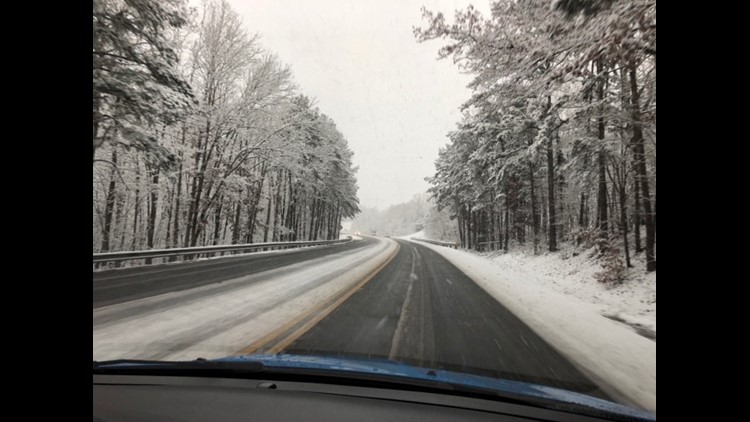
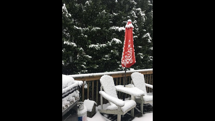
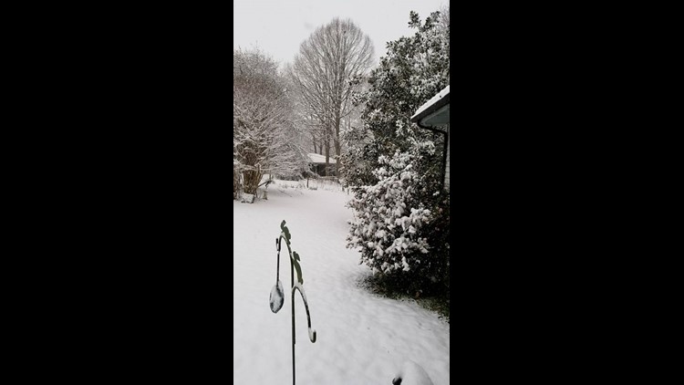
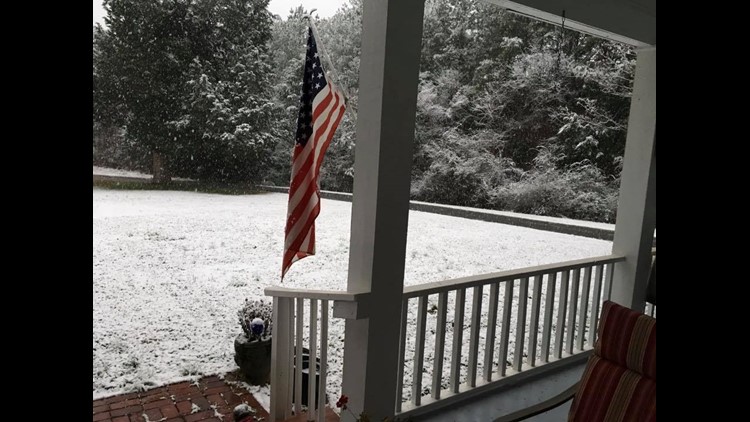
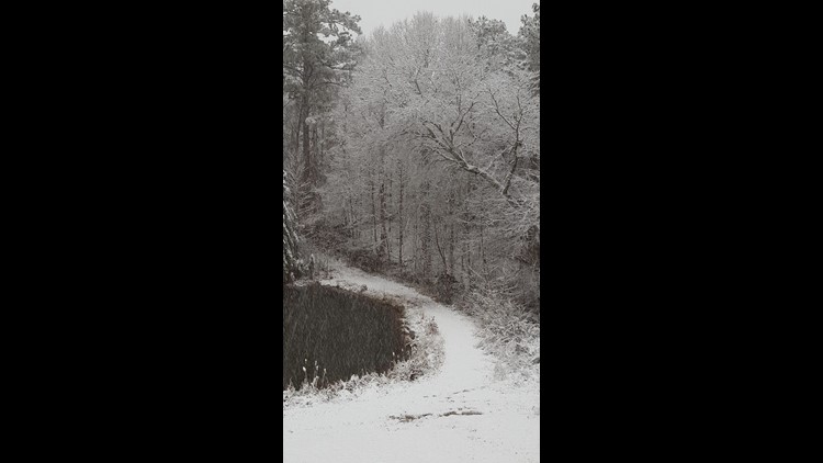
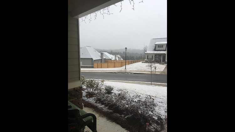
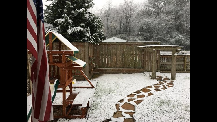
PHOTOS | Snow in Georgia 2017


PHOTOS | Snowmen in Georgia snow of 2017


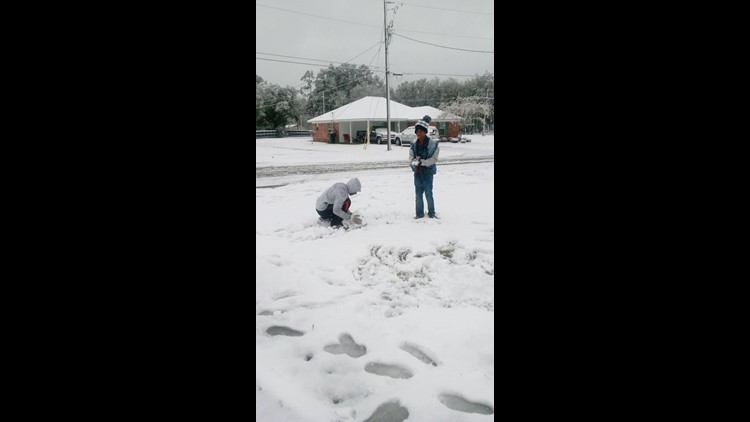
PHOTOS | Kids enjoying their snow day


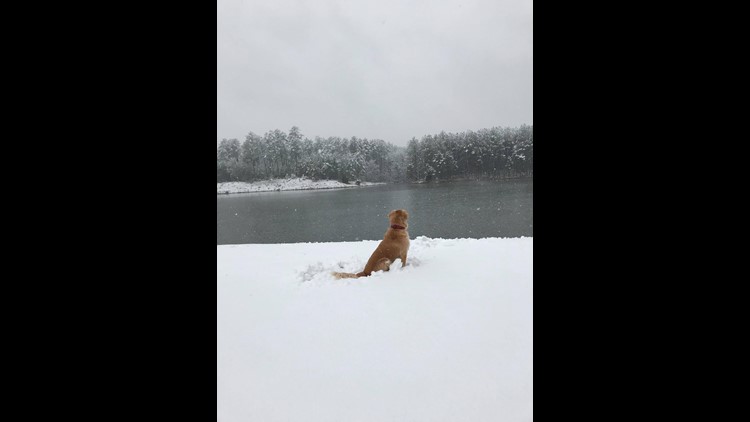
PHOTOS | Dogs playing in Georgia snow


Winter weather hacks


UPLOAD | Send us your weather pictures here
POWER OUTAGES CHECK | Georgia Power customers, check here. Georgia EMC customers check here.
Download the FREE app now in the iTunes store or on Google Play.