
ATLANTA — Storms from the west have made their way to Georgia with the potential to be severe.
Rain, strong winds and the potential for thunderstorms were anticipated Friday overnight into Saturday. The Storm Prediction Center has deemed northwest Georgia to be under a moderate Level 1 risk, with the wettest part of the day expected to be early Saturday morning. Click here for the full forecast.
This could bring slick roads for those heading out early Saturday morning to their Spring Break destinations. A wind advisory is also in effect for after storms move through. Follow live updates below. You can also track weather as it moves in via your county's radar online here.
People can get weather alerts from 11Alive's meteorologists on the 11Alive+ streaming app on Roku and Amazon Fire TV. Also download the 11Alive News app and sign up to receive alerts for the latest—weather information.
Scroll below for live updates, weather alerts, live radar.
Latest updates
11:45 a.m. | Floyd County Emergency Management has released its damage report from the severe thunderstorm. It said dispatchers received over 168 calls reporting "downed trees, power lines, inoperable traffic lights, and trees on houses or vehicles." The management department said that many roads are closed, and there are about 2,200 Georiga Power customers without power.
9:49 a.m. | All thunderstorm, flood and tornado warnings have expired in Georgia. The storm is rolling on through, leaving behind a wind advisory that ends at 11 p.m. Storms are still expected in the state for a few more hours. Here's the latest forecast from 11Alive StormTracker Meteorologist Chesley McNeil:
9:37 a.m. | Hartsfield-Jackson International Airport has delayed over 100 flights and canceled 29, according to FlightAware.
9:31 a.m. | According to officials at the Fayette County Sheriff's Office, they've received reports of two trees down, one on Ginger Cake Road and another on Riley Avenue.
9:27 a.m. | Here's the latest forecast from 11Alive StormTracker Meteorologist Chesley McNeil:
9:23 a.m. | Georgia Governor Brian Kemp asks for residents to stay weather aware.
9:13 a.m. | A tornado warning is in effect for Clayton, Fayette and Henry counties until 9:30 a.m.
9:08 a.m. | A flash flood warning has been issued for Fulton, DeKalb and Gwinnett counties until 12:15 p.m. 11Alive Meteorologist Melissa Nord urges drives to stay off of flooded roads.
8:55 a.m. | A severe thunderstorm warning has been issued for Clarke, Walton, Oconee, Barrow, Gwinnett and Jackson counties until 9:30 a.m.
8:02 a.m. | A tree fell on a store in Floyd County while employees were working due to the heavy winds coming from the thunderstorms.
It happened at the Maple Quick Stop convenience store in Rome. An employee there at the time said she thought she heard thunder and lightning, but it was a tree that had fallen on the store. No one was hurt.
7:59 a.m. | Local reports from Sergeant Chris Fincher with the Rome Police Department are coming in from Floyd County, saying that trees and powerlines are down in several areas.
Trees down
634 Old Lindale Rd SE, in Lindale
26 Clover St SW, in Rome
Hermitage Road - in the Shannon Community
Powerlines down
Dogwood Street - off North Avenue
Callier Springs Road - off GA 20
7:38 a.m. | A severe thunderstorm warning has been issued for Fulton, Forsyth and Cherokee counties until 8:15 a.m.
7:11 a.m. | A severe thunderstorm warning was issued until 8 a.m. for the following Georgia counties, Cherokee, Bartow, Dawson, Pickens and Forsyth.
6:48 a.m. | The National Weather Service extended a severe thunderstorm warning for the following Georgia cities, Adairsville, Rome, Cartersville and Cedartown, until 7:15 a.m.
6:34 a.m. | The National Weather Service issued a severe thunderstorm warning for the following northeast Georgia counties Floyd, Bartow and Polk until 7:15 a.m.
6:04 a.m. | The National Weather Service issued a severe thunderstorm warning for the following northeast Georgia counties Murray, Catoosa, Whitfield and Fannin until 6:45 a.m.
4:23 a.m. | The National Weather Service issued a tornado watch for several north Georgia counties until 9 a.m. Those include Bartow, Carroll, Catoosa, Chattooga, Cherokee, Dade, Fannin, Floyd, Gilmer, Gordon, Haralson, Murray, Paulding, Pickens, Polk, Walker and Whitfield counties.
The tornado watch is also in effect for Cleburne and Randolph counties in Alabama until 8 a.m. Central Time.
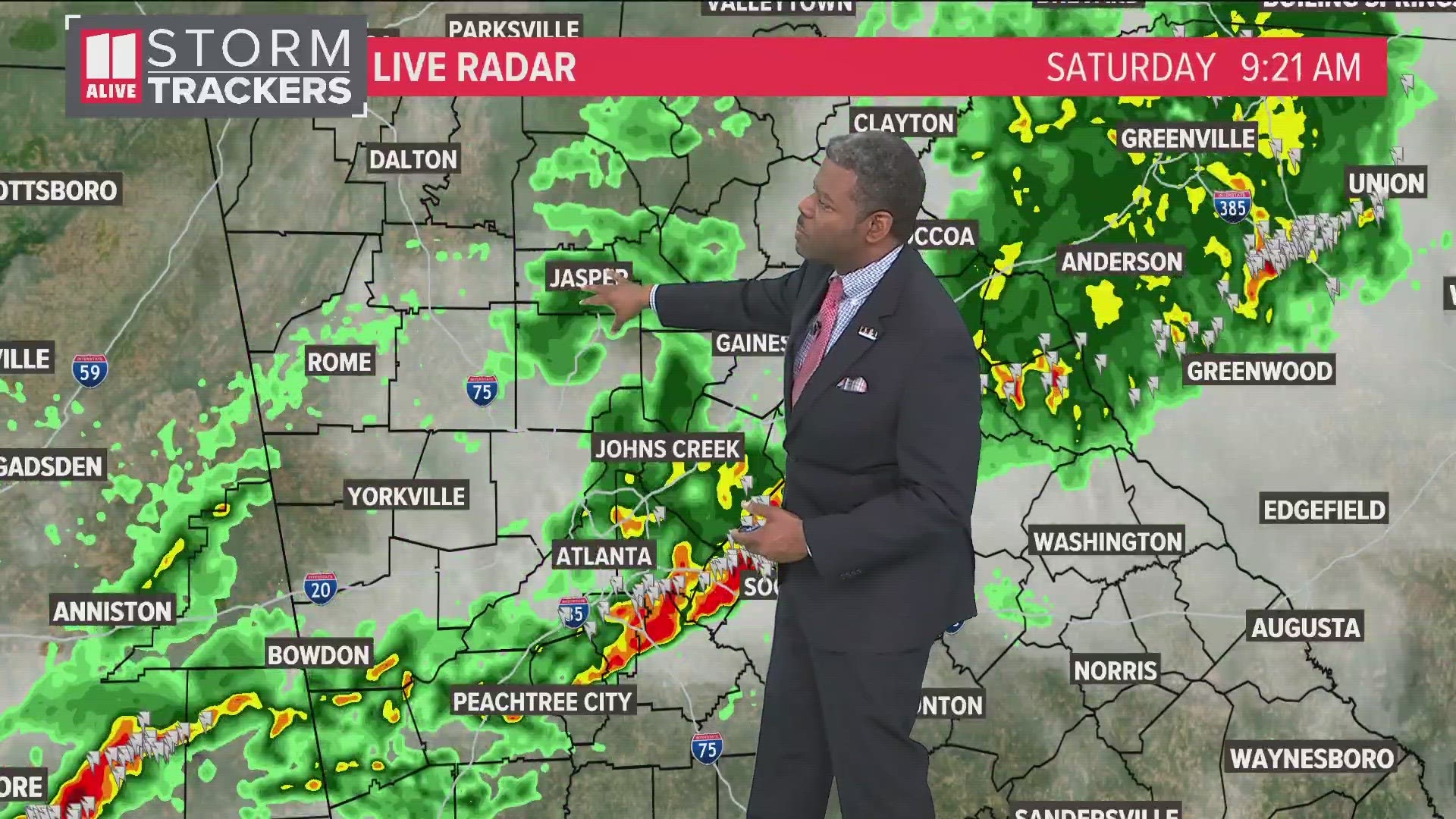
Live radar
MORE FROM THE 11ALIVE STORMTRACKERS
DOWNLOAD THE 11ALIVE APP:
- Download the app on your Apple or Android device.
- Set up weather notifications by clicking the Gear icon in the upper right corner of the app. Select Notification -> Notification Settings -> Severe Weather Alerts -> Toggle the Severe Weather Alerts button to the right to turn alerts on.
- Send photos and videos through the app by selecting the Near Me feature on the bottom right taskbar of the app and entering your information.
TEXT YOUR WEATHER PHOTOS TO US: 404-885-7600
JOIN THE 11ALIVE STORMTRACKERS FACEBOOK GROUP: Nearly 10,000 metro Atlanta and north Georgia weather enthusiasts share their weather photos every day. Click here to join the group!