A Severe Thunderstorm Watch is in effect for parts of northeast Georgia, until 9 pm.
11Alive Chief Meteorologist Chris Holcomb says the watch has been canceled for metro Atlanta as the main line of storms have moved east of the area.
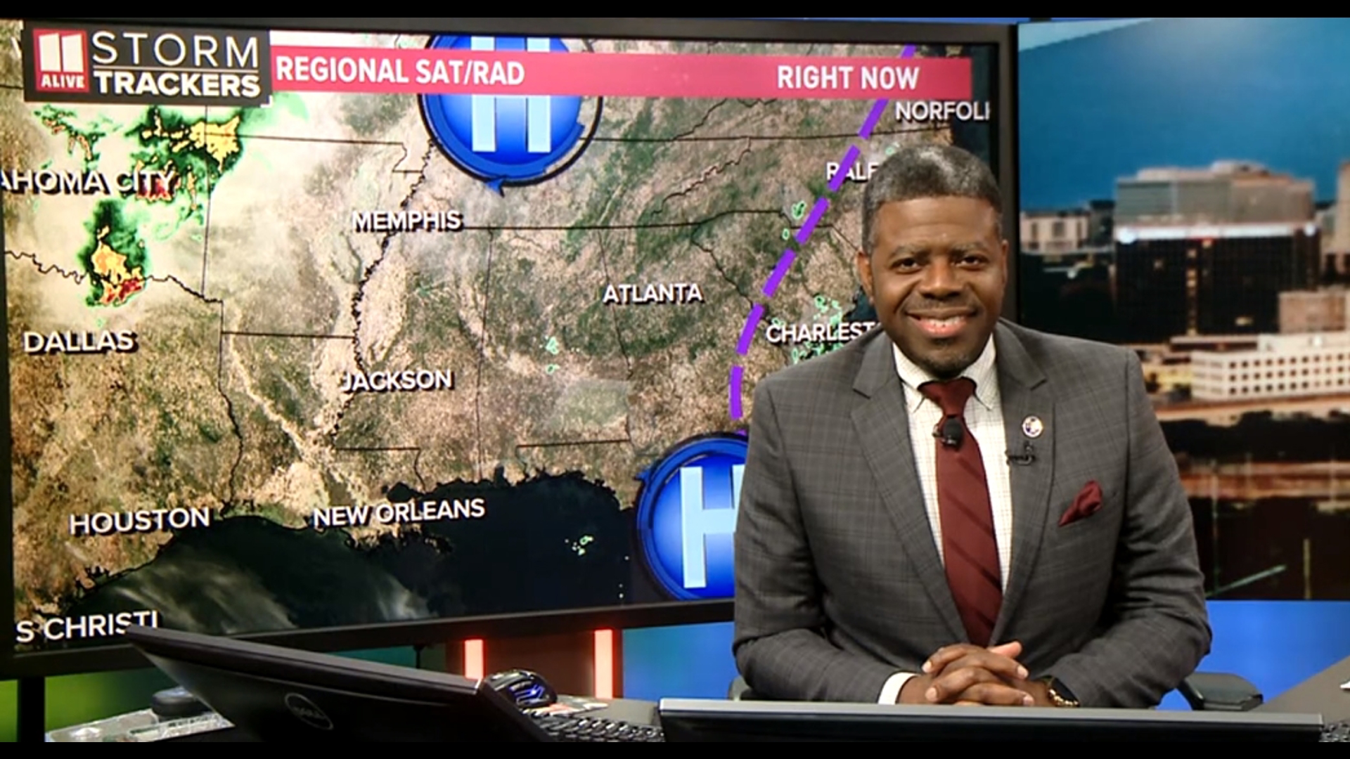
The storms will continue to move eastward through Athens and toward the South Carolina line. Primary storm threats include scattered damaging wind gusts up to 70 mph and isolated large hail events to 1.5 inches in diameter.
Here’s a timeline of what we can expect moving throughout the rest of Memorial Day weekend:
MEMORIAL DAY MORNING
Any overnight showers from Sunday are expected to break up Monday morning, leading to a dryer Memorial Day morning. Expect to wake up to mostly cloudy skies with perhaps a little bit of sun peeking through around 10AM.
MEMORIAL DAY AFTERNOON
We have a 50 percent chance of another round of showers and storms expected to develop later in the day on Monday, with some of those storms possibly being strong. Around 2 p.m. the temperatures will being to heat into the 80's and that's when the showers and thunderstorms will be most likely and last until the early evening hours.
The severe storms will be scattered around, and not very widespread.
The chance for heat of the day thunderstorms continues each and everyday for the rest of the week!
INTERACT | Tell us what you see by posting on our Facebook page or Tweet using #Storm11
Download the FREE app now in the iTunes store or on Google Play.
POWER OUTAGES CHECK | Georgia Power customers, check here. Georgia EMC customers check here.