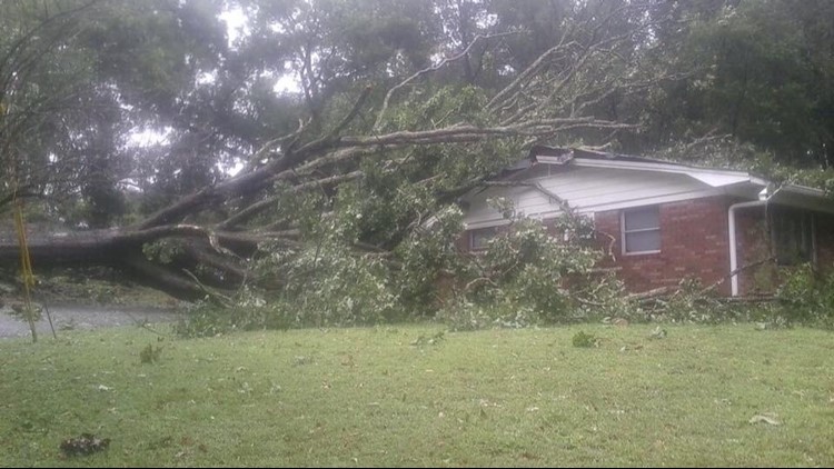
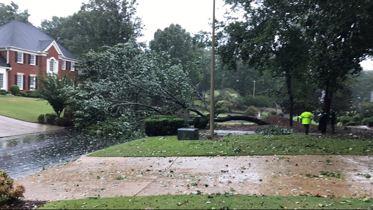
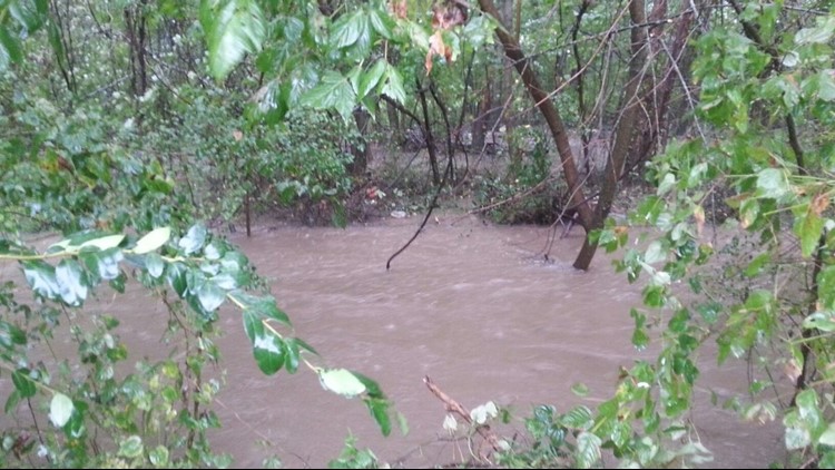
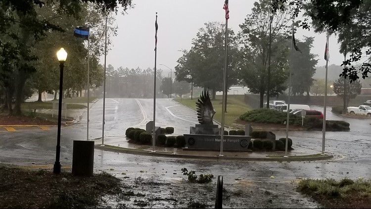
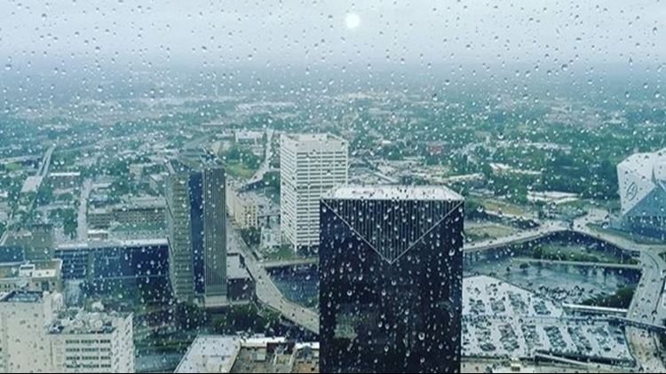
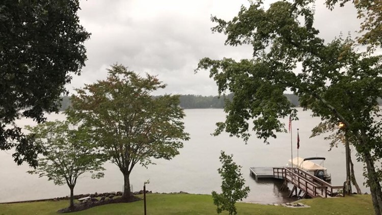
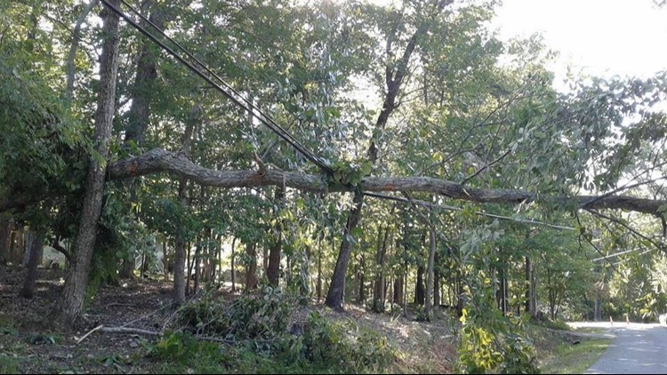
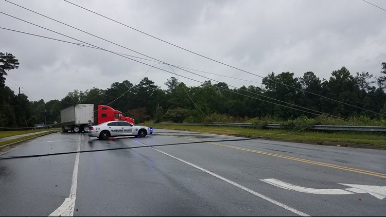
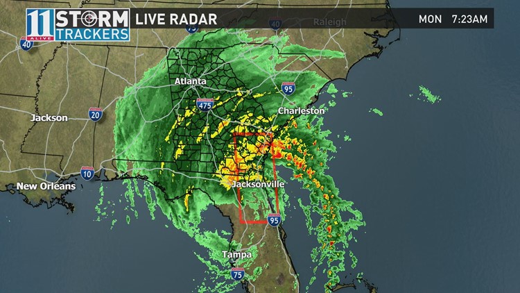
Our entire state is being impacted by this storm.
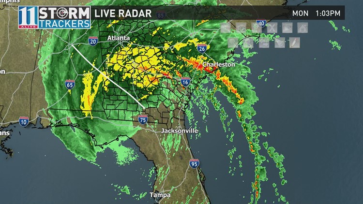
As of 8 p.m. Monday, Tropical Storm Irma was located about 55 miles southeast of Columbus, or 120 miles south of Atlanta. Irma is moving to the north-northwest at 16 mph. Maximum sustained winds are at 45 mph. On its present track, it is expected to move into Alabama and become a tropical depression on Tuesday.
Extreme southwest Georgia will be the most impacted by Irma with heavy winds and rain.
In the metro area, the cool conditions lessen the chance of severe weather but that's not to say we won't have any. The main concerns will be flooding because of rain. Generally speaking, we're going to see three to five inches of rain in the area.
11Alive StormTracker Chesley McNeil said Irma will look different in Georgia than it did in Florida. "It's not going to be what you saw in Florida. It's not going to be what you're seeing in Tampa," he said.
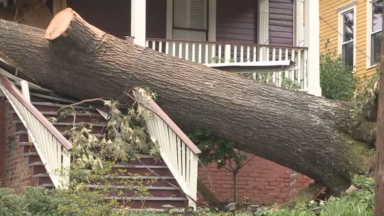
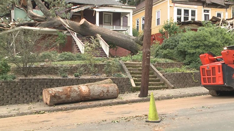
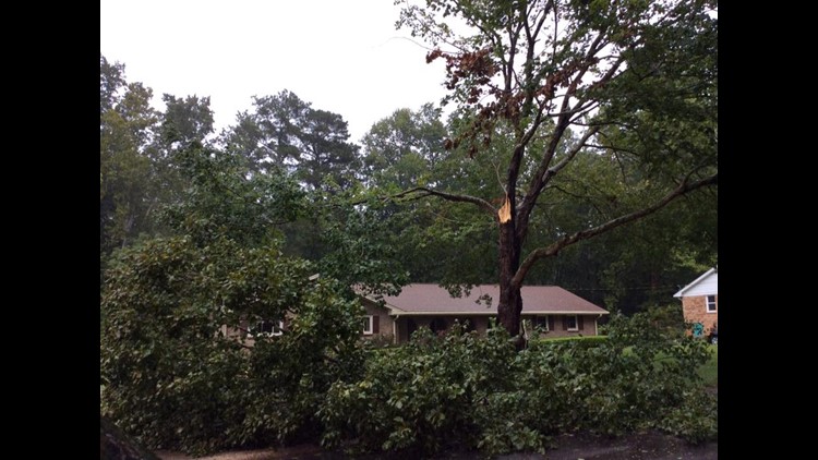
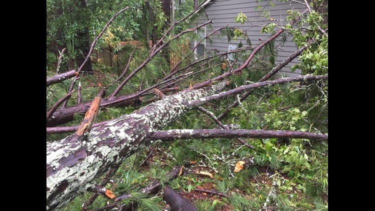
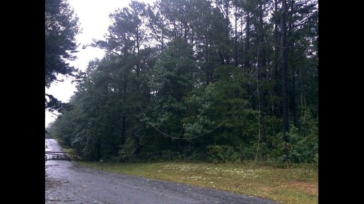
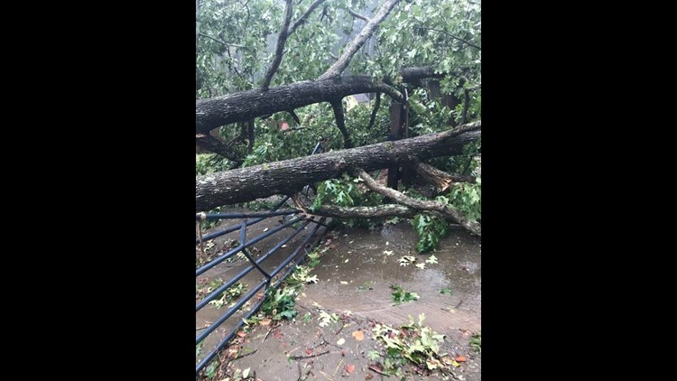
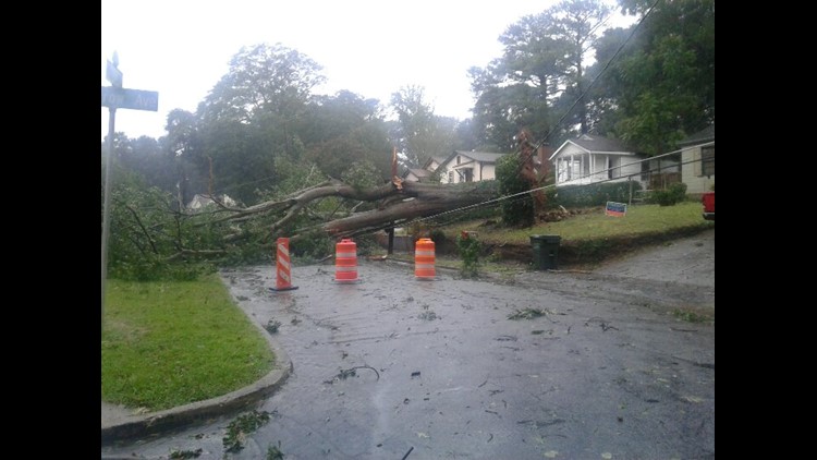
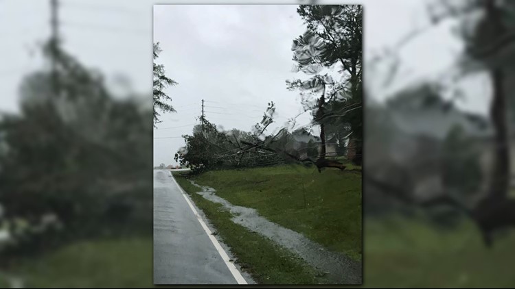
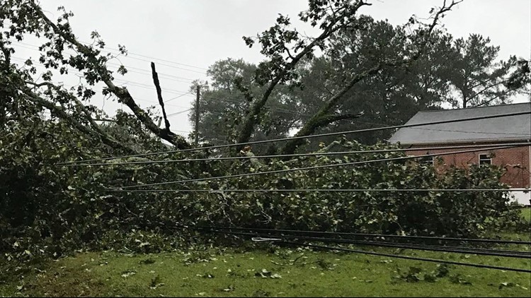
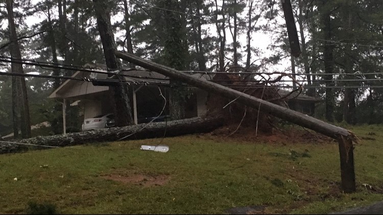
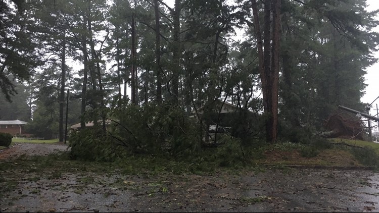
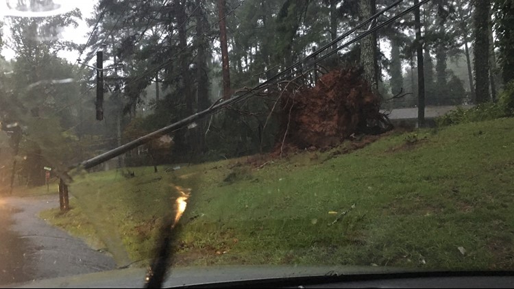
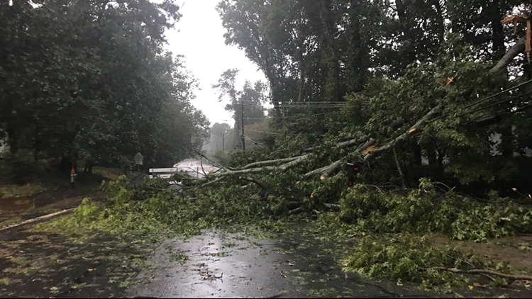
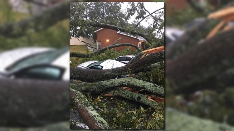
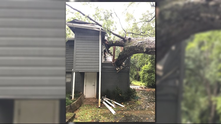
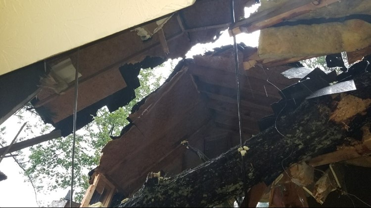
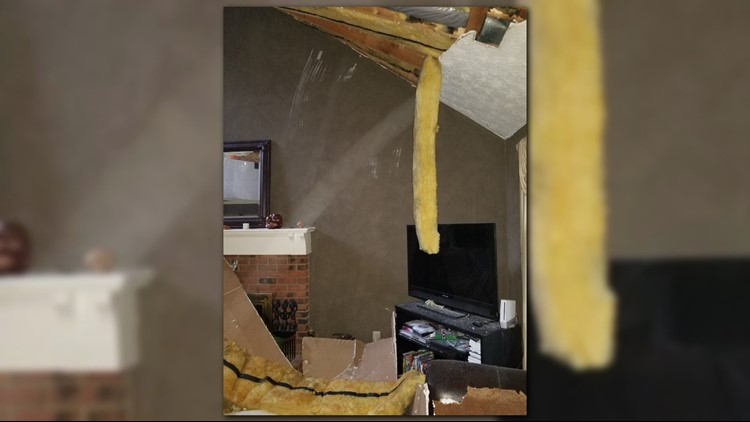
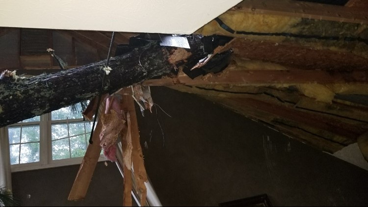
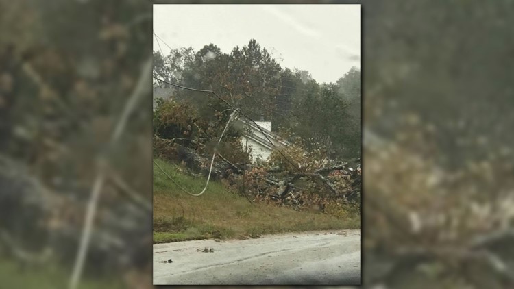
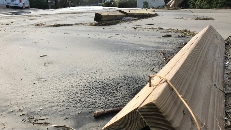
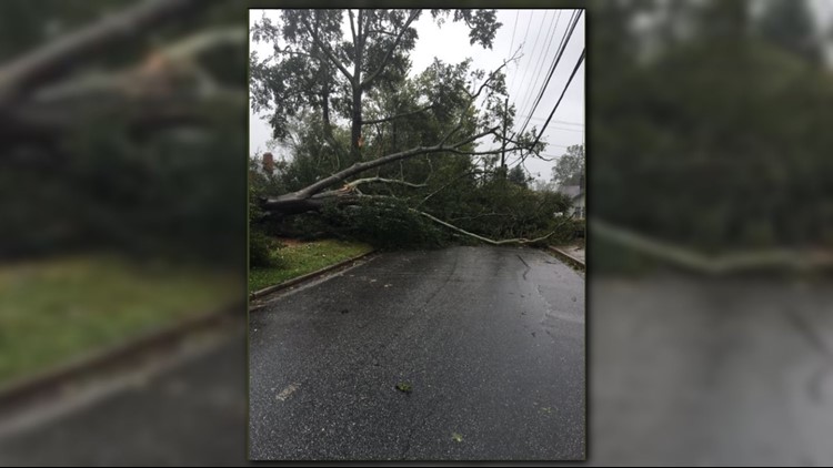
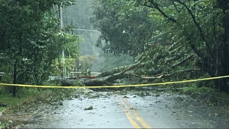
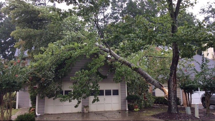
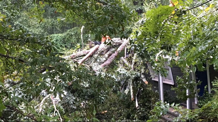
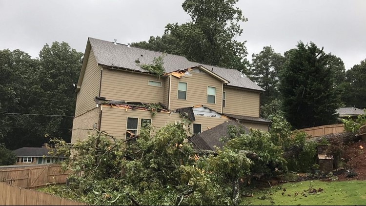
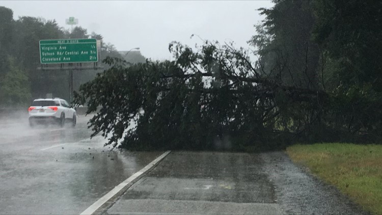
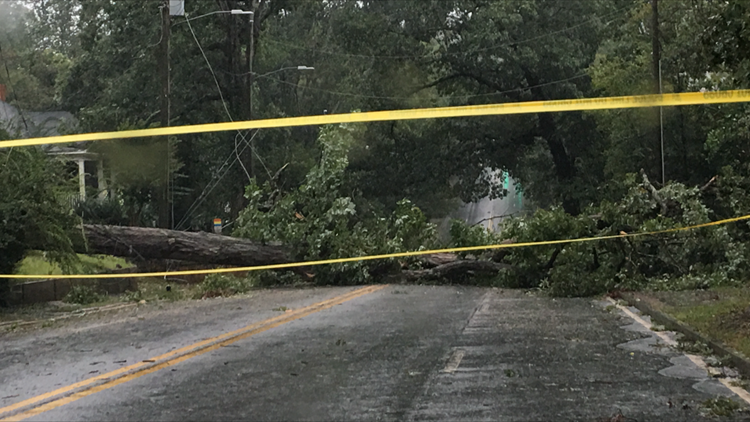
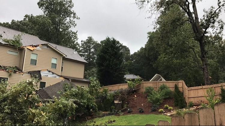
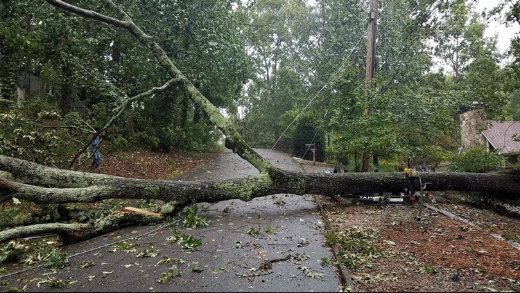
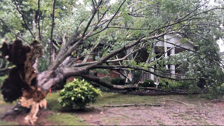
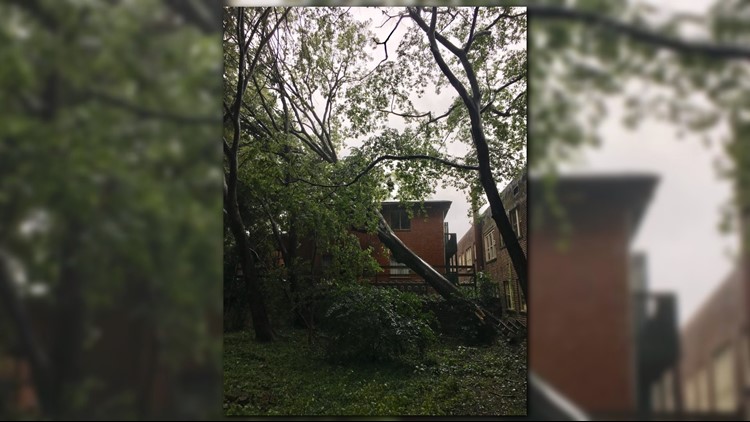
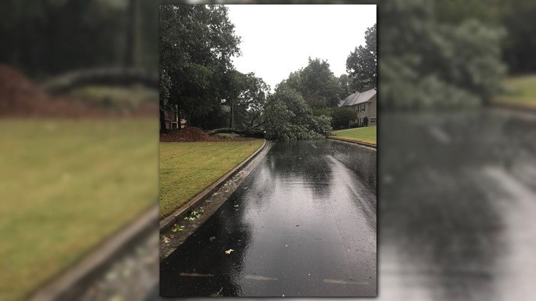
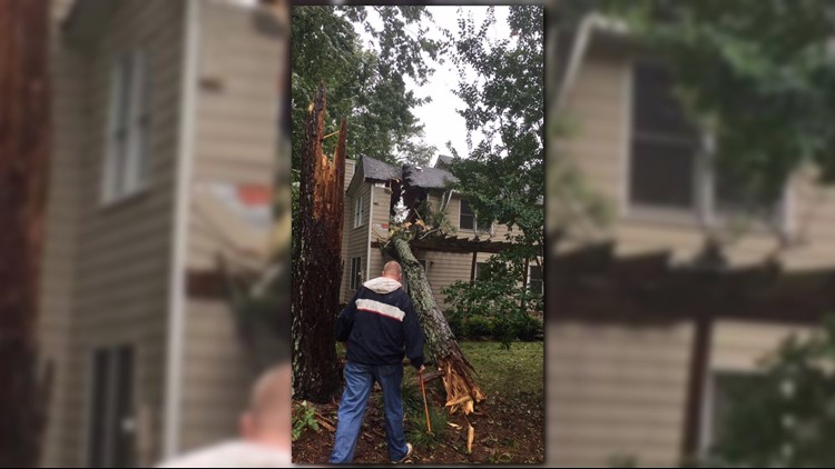
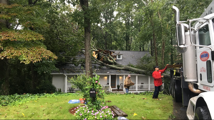
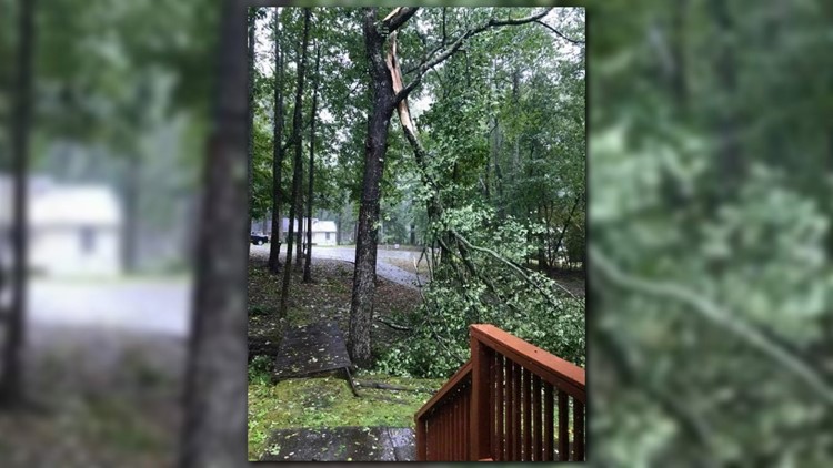
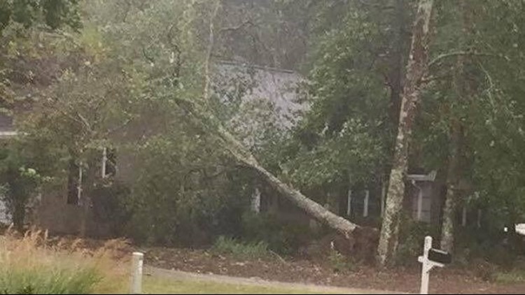
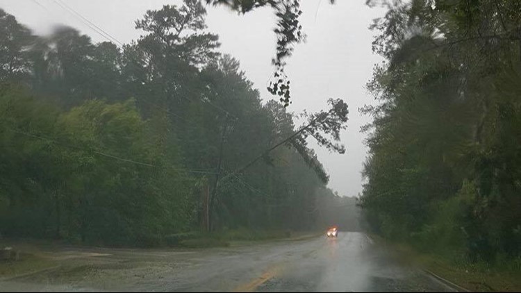
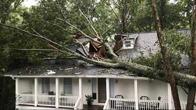
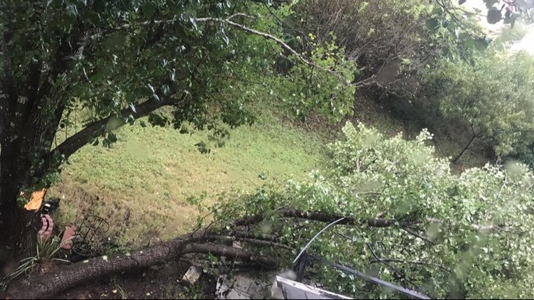
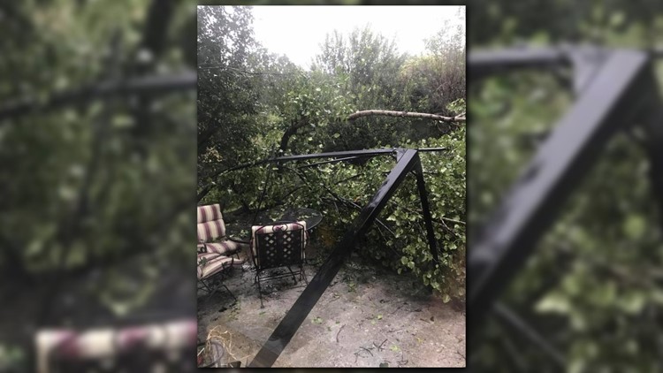
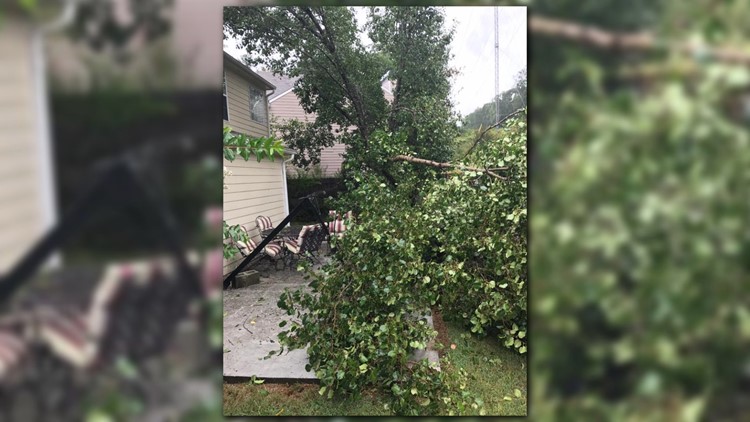
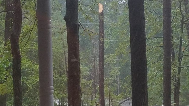
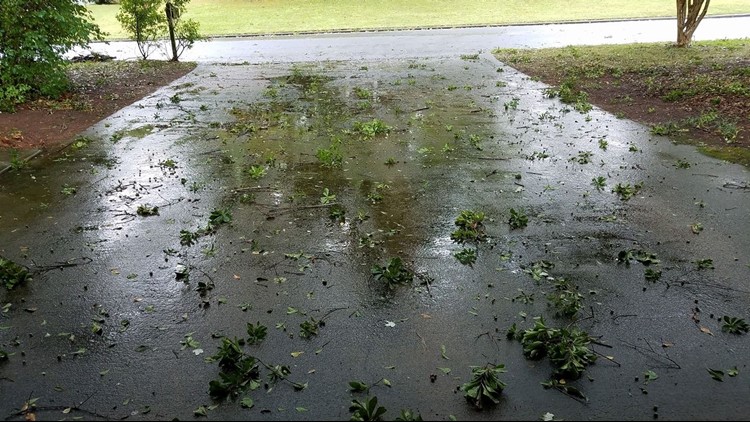
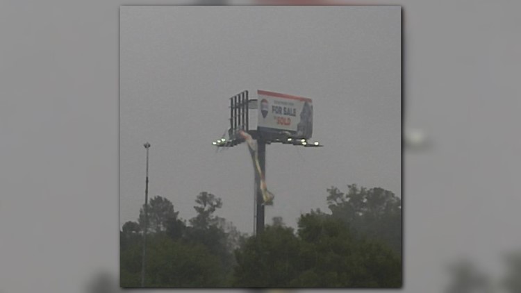
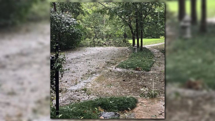
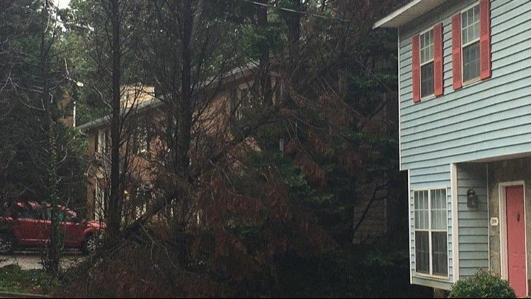
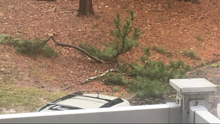
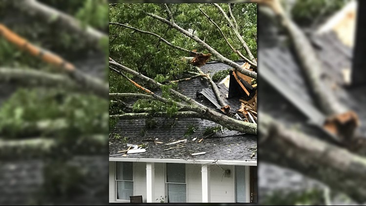
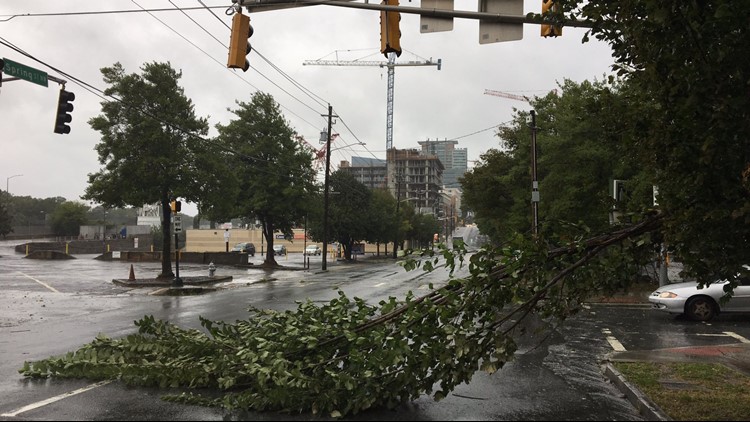
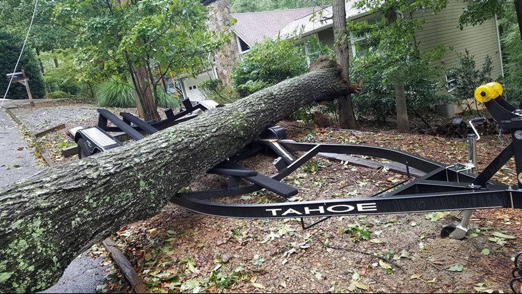
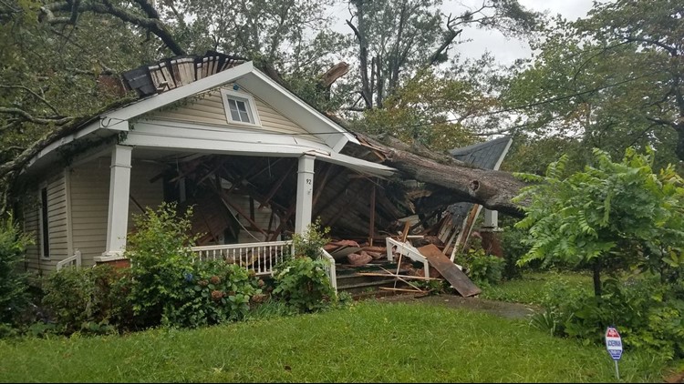
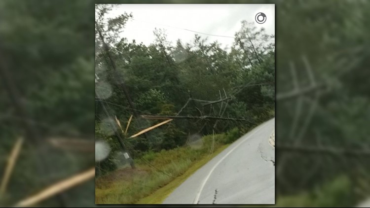
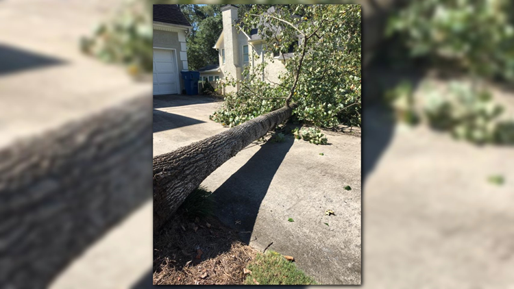
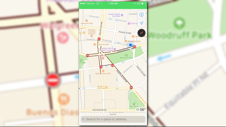
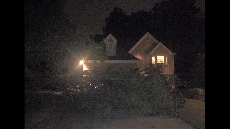
PHOTOS | Hurricane Irma damage in the metro Atlanta


Here is a timeline of what to expect when Irma greets Georgia |
Monday | 3 a.m. to 5 a.m.
Expect breezy conditions as rain begins to sprinkle.
6 a.m. to 12 p.m.
Expect light rain with winds at 20 to 30 mph.
Noon until around 4 p.m.
Wind speed will build with sustained winds at 30 to 40 mph and wind gusts up to 55 mph when the winds peak. Heavier bands of rain will begin falling.
4 p.m. until 9 p.m.
Once we reach the peak of the storm, the heavy rain and wind will sustain for several hours because a tropical storm is slow moving.
Around 5 p.m. the eye of the storm should be crossing the border into Alabama.
Tuesday |
The morning begins with light rain that will be diminishing by the afternoon. Conditions should improve as the day goes on. By this time, Irma will be well into Alabama.
►SCHOOL CLOSINGS: Stay up-to-date about schools deciding to close
►CHECKLIST: Your hurricane season supply kit
►FOLLOW US: Follow StormTrackers Chris Holcomb, Chesley McNeil and Samantha Mohr