
ATLANTA — Georgia legislators would no longer draw their own legislative districts under a measure introduced at the State Capitol.
The measure, introduced by Democrats, would instead let nonpartisan mapmakers draw district lines. Republicans draw the lines now and control the legislature.
Democrats held power less than two decades ago and they drew legislative districts that maximized their ability to be elected. When Republicans took over, they did the same thing.
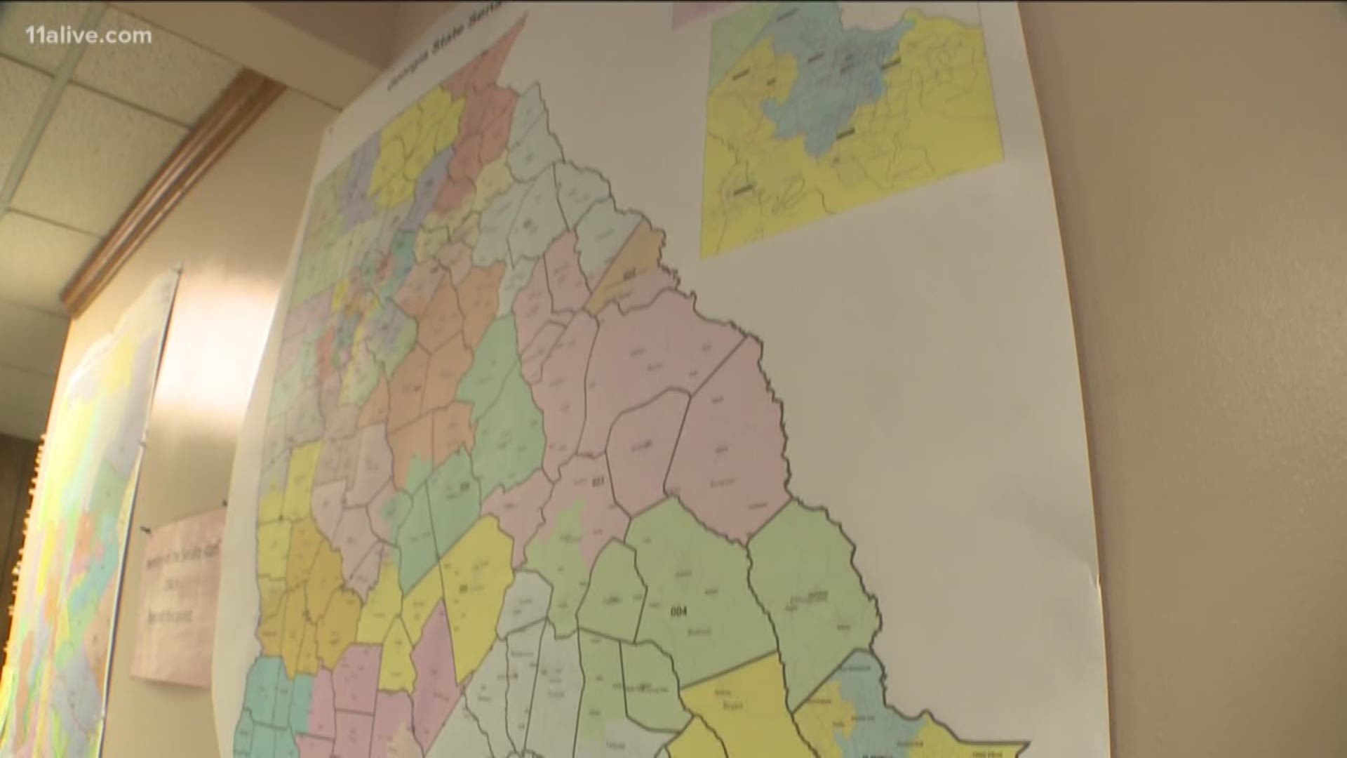
The districts are a patchwork of colors on a map, but their boundaries can determine whether the lawmaker in it will be a Republican or a Democrat.
Last year’s election showed a measurable Democratic resurgence in Georgia —leading some to suggest that now’s the time for the two parties should let a nonpartisan commission draw the districts that deliver representatives and senators to the State Capitol.
Sen. Elena Parent (D-Atlanta) thinks Republicans ought to jump at that chance. “I think it makes perfect sense (for the GOP) to say, let’s have fair maps. And let’s pass this independent commission so that the Democrats can’t come back and have their turn at the computer, making us as irrelevant as possible when they’re in charge,” Parent said.
But Republicans are unlikely to willingly yield the considerable power of mapmaking, said former Georgia GOP chairman Chuck Clay.
“It might be a good idea. I don’t believe it’s an idea whose time has come. Or will be in the relevant future,” said Clay, a well-connected lobbyist with the law firm Hall Booth Smith PC.
Clay was a state senator in 2001 when Democrats drew memorable districts designed to maximize their power while respecting the U.S. Voting Rights Act.
In metro Atlanta, the map featured three thin finger-shaped districts – House Districts 66, 68 and 69 - stretching northeast from the DeKalb County line into Gwinnett County.
In southeast Georgia, House District 127 compiled barely-contiguous precincts from five counties into one sprawling Rorschach blot.
House District 145, connected two separate chunks of Charlton County by adding a thin ribbon of swampland adjacent to the St. Marys River.
Courts intervened and so did Georgia voters, when they elected Republican majorities to the legislature despite the gerrymandered districts.